Get Full Government Meeting Transcripts, Videos, & Alerts Forever!
Get email alerts on the Wildfire Mitigation topic
No spam. Unsubscribe anytime.
Highland adopts state wildland‑urban interface code and map to align with new 2024 requirements
Summary
The Highland City Council unanimously adopted an ordinance adopting the 2024 Utah Wildland‑Urban Interface (WUI) code, updating the city’s fire‑code reference and adopting a clarified WUI map; staff said rules will mainly affect new construction and additions and an education-first approach will guide residents.
The Highland City Council on July 7 voted 5–0 to adopt an ordinance updating the city’s fire‑code references and formally adopting the state’s 2024 Wildland‑Urban Interface (WUI) code and the staff‑recommended WUI map.
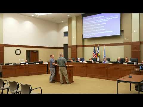
City planner (speaker 12) told the council the state requires jurisdictions to adopt a WUI map that includes only areas the state rates as risk level 5 or higher. The staff map presented to council shows the state‑designated high‑risk pockets — Beacon Hills/Twin Bridges, portions of Sky Estates and parts of Viewpoint on the mountainside — and staff recommended the clearer map rather than one that depicted lower‑risk areas as well. “So we have brought this to you to the council,” the planner said, explaining the map and the planned GIS publication for public clarity.
Staff and fire officials emphasized the local effect will be limited. The code generally does not require retroactive compliance: most requirements apply to new construction or to work that “touches” a structure (additions or new builds), and the greatest enforcement change will be defensible‑space rules about vegetation and fuel modification. The planner said the city will focus on education and outreach during the first six months after adoption to help residents understand defensible‑space measures such as tree and shrub setbacks and how to make additions fire resistant.
Council members pressed staff about how many homes would be affected and the potential insurance implications. One council member summarized staff estimates that Beacon Hills and Sky Estates together could account for on the order of 120–175 homes (figures provided by council members and staff were described as estimates). Staff said county or state fee programs are separate, that sprinkler rules generally apply to new construction (or very large builds) rather than modest additions, and that defensible‑space measures are intended to make homes and neighborhoods more insurable.
The ordinance also updates the city’s fire‑code reference from the edition previously cited to the 2024 code and adopts the staff‑distributed map. The ordinance was moved, seconded and approved on a 5–0 vote. Staff said the local requirements will take effect in January to align with state timelines and that they will create GIS layers, plain‑language handouts and targeted outreach for residents in affected areas.
What happens next: staff will publish the map as a GIS layer, begin education and outreach, and work with residents in designated WUI areas on defensible‑space measures and permitting guidance. The council’s adoption does not require homeowners to make retroactive changes to existing homes, except where additions or rebuilding occurs.