Get Full Government Meeting Transcripts, Videos, & Alerts Forever!
Get email alerts on the Land Division topic
No spam. Unsubscribe anytime.
Commission flags map discrepancies, wetlands and PUD issues while reviewing land-division ordinance
Summary
Commissioners spent substantial time on the land-division ordinance in relation to the Lombardo/Amherst parcels, raising concerns about conflicting zoning/future land-use maps, wetlands and tree protection, utility-letter requirements, and whether parcel splits require PUD amendments; they proposed a workshop and noted a master plan update is expected in 2027.
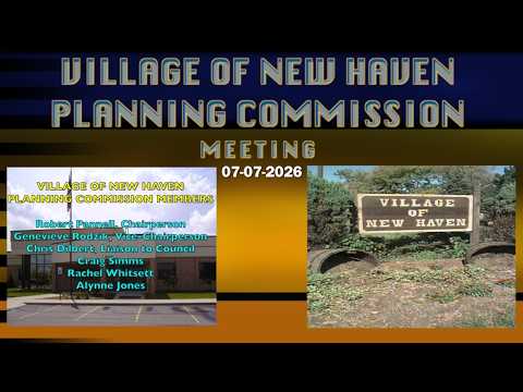
The Planning Commission devoted much of its July 7 meeting to questions about the land-division ordinance and how it applies to current proposals, particularly a Lombardo parcel discussed in relation to the Amherst subdivision.
Staff explained the commission must follow existing state law and the zoning map: "we're gonna double check the state law," the staff member said, and emphasized that land-division review and special land-use review are separate processes. Commissioners raised concerns about a parcel that appears wooded and whether the ordinances protect significant trees or wetlands; one commissioner said applicants may need a wetland consultant.
Several speakers noted discrepancies between the commission's maps and county data. Commissioner (S5) suggested inaccuracies in the county's Parcel Explorer and recommended coordination with Macomb County or Lenox Township assessing departments to reconcile records. The commission also discussed long-standing PUD conditions for the Amherst development (phases 5 and 6) and whether proposed splits would require PUD amendments.
Commissioners agreed a dedicated workshop to reconcile zoning and future land-use maps and to identify 'holes' would be useful. Staff said a master-plan update proposal is expected in 2027 and suggested preparing an implementation schedule; commissioners asked staff (Dave) to present maps and materials for the workshop.
Why it matters: Map inconsistencies, missing parcel data, and unclear PUD records can affect how applications are reviewed, whether additional environmental review is needed, and the notice and rights of adjacent property owners.
Next steps: Staff to check state law as it pertains to land-division timing and referrals, confirm whether utility-provider letters are consistently required in applications, coordinate with county/township assessors about Parcel Explorer discrepancies, and prepare maps for a follow-up workshop and master-plan review.