Get Full Government Meeting Transcripts, Videos, & Alerts Forever!
Get email alerts on the Planning Zoning topic
No spam. Unsubscribe anytime.
Attica planners review draft Unified Development Ordinance and parcel‑level zoning map ahead of Aug. 10 hearing
Summary
Consultant Brian Self told the Attica planning commission the unified development ordinance (UDO) and a parcel‑level zoning map will be posted online as drafts before an Aug. 10 public hearing; the UDO combines zoning and subdivision rules, preserves grandfathered uses but limits expansion, and will be adopted together with a short errata sheet.
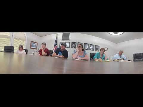
Brian Self of HWC Engineering presented a first public briefing to the Attica Planning Commission on a draft Unified Development Ordinance and a parcel‑level zoning map, saying the materials will be posted online in advance of the planning commission’s Aug. 10 public hearing. "This meeting is intended just to get an overview for all the planning commission members," Self said, urging members to review the draft and submit items for an errata list before the hearing.
The presentation framed the UDO as an effort to consolidate the city’s zoning ordinance and subdivision control ordinance into one searchable, hyperlinked document designed to reflect recent state law changes and current development practice. Self described features intended to make the ordinance easier to use: a user guide, tables that group residential and commercial uses (with P=permitted and S=special exception), integrated parking standards, and downloadable GIS shapefiles so the map can be viewed at the parcel level.
Self said parcels that were rezoned to business in earlier years — for example a standalone car lot in a residential block — would be shown on the proposed map as residential to match surrounding uses. He explained how legally existing nonconforming uses would be handled: a grandfathered business may continue to operate but may not expand or change to a different business use, and if the use is discontinued and the parcel remains vacant for more than one year the grandfathered status would lapse.
Commissioners and staff discussed how the city will publish and maintain the materials. Chair (who opened the meeting) said she would ask city staff to post Draft B of the UDO and the proposed zoning map and to flag the files clearly as working drafts. Self described common approaches — working with county GIS, providing shapefiles and Word files, and maintaining a short errata sheet that lists adoption‑era edits so reviewers and the public are not confused by multiple versions.
A commissioner asked whether recent annexations were shown; the consultant confirmed the partial 35‑acre Shepherd's Landing annexation is included on the proposed map and said staff will verify layers before posting. Commissioners also pressed about notification for affected property owners; Self said the code adoption process does not automatically send individual notices to every parcel owner, but the city can publish a parcel list or use utility mailings and website postings to inform residents and encouraged property owners to check the posted map.
The planning commission set its next meeting for Aug. 10 at 4:00 p.m.; a motion to adjourn was moved and seconded and the meeting closed with recorded "Aye" votes. The consultant and staff said the draft UDO, maps and errata sheet will be posted online before that meeting so commissioners, council members and the public can review them in advance.