Get Full Government Meeting Transcripts, Videos, & Alerts Forever!
Get email alerts on the Geospatial Governance topic
No spam. Unsubscribe anytime.
Committee approves move to house Georgia Geospatial Advisory Council at DCA after GIO briefing
Summary
Lawmakers voted 9-4 to recreate the Georgia Geospatial Advisory Council and administratively tie the state Geospatial Information Office to the Department of Community Affairs. Susan Miller, the state GIO, told the committee federal grants have funded the office but long-term funding is unresolved.
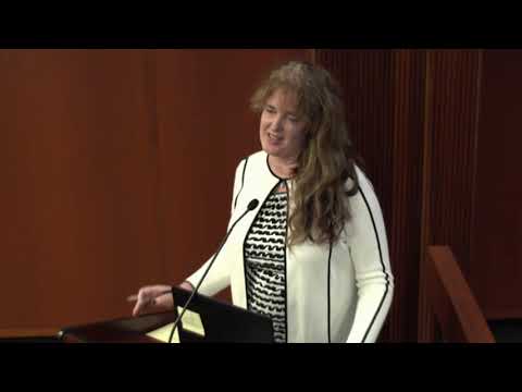
Susan Miller, Georgia's state geospatial information officer, told the State Planning & Community Affairs committee on July 15 that the office coordinates location-tagged government data and helps "build it once and use it many, many ways." Miller described geospatial data as routine government information with location attached — parcel boundaries, flood plains, aerial photography and lidar — and said that moving the Geospatial Advisory Council to the Department of Community Affairs (DCA) would create governance and priorities for statewide datasets.
Miller said Georgia has duplicated effort across jurisdictions and agencies, with local entities each building similar address and parcel data. "There's a lot of loss, a lot of inefficiencies, and a lot of duplication," she said, arguing a coordinated state program can reduce cost and improve maintenance. She said the position has been partly funded by federal grants and regional commissions but that those funds were time-limited and longer-term funding remains unresolved.
Committee members pressed Miller on implementation, staffing, federal standards and privacy. Miller said she would like to "start with 2" staff and scale as needed, citing other states with staffs ranging from about 10 to 25. She told lawmakers that some datasets, such as addresses and building footprints needed for the decennial census, will take several years to complete and estimated 3'5 years to reach leadership in selected areas, with five years more realistic for broader implementation.
On standards and grants, Miller described coordination with federal bodies and recent federal support: she said the federal government sets minimum quality levels for elevation data and that she had secured a USGS grant of about $250,000 to fly lidar. "If it's good, we'd like to throw a bunch of money your way to bring it to fruition," she said of federal partners.
Several members raised privacy concerns about high-resolution imagery and unmanned aircraft. Representative Cook asked whether federal requirements address privacy, saying that imagery and satellite data "are frankly outpacing some of the privacy guarantees we have as citizens." Miller acknowledged the concern and said federal guidance has informed state choices; she added that accurate data can prevent misclassification, offering the example that precise imagery should allow analysts to tell a mobile chicken coop from a taxable structure so a resident would not be wrongly charged.
Miller described two implementation models: a central "shop" that would do heavy lifting for some datasets, or a distributed approach that relies on local GIS professionals and technology to roll local data up to regional and state layers. She said many local and regional entities are eager for standards that let them share data rather than recreate it.
Lawmakers also asked about jobs and cybersecurity. Miller said the office would not displace local GIS roles and that the project would likely create a small number of state positions rather than eliminate jobs. On cybersecurity, she said she is "attached to the hip with GTA" (Georgia Technology Authority) and that any state system would comply with GTA cybersecurity policies.
The committee debated whether creating the council by statute risks the same funding pitfalls that led to a veto of SB 11 in 2013; members noted the current measure creates the council in code and contains no dedicated state funding, relying instead on agencies' existing budgets and potential federal or creative revenue sources. Miller referenced North Carolina's model of funding parts of its program with a 9-1-1 tax and a land-transaction fee as examples of sustainable approaches.
Representative McClain moved that the committee "do pass" the bill recreating the Geospatial Advisory Council and tie the geospatial office administratively to DCA; the motion was seconded. The committee recorded a vote of 9 yes, 4 no and agreed to file its report.
The measure passed the committee without an appropriation attached; committee members said they remain interested in long-term funding options and invited Miller back for further briefings.
Votes at a glance
Motion: "Do pass" to recreate the Georgia Geospatial Advisory Council and administratively tie the Geospatial Information Office to the Department of Community Affairs. Outcome: Passed; recorded tally 9 yes, 4 no.
Sources and authorities mentioned in committee
US Economic Development Administration (EDA) 24-month grant (regional match reported by Miller). US Geological Survey (USGS) grant (~$250,000) for lidar acquisition. References to prior action on SB 11 (2013 veto) and to federal geospatial standards bodies (National Geospatial-Intelligence Agency; Federal Geospatial Data Council).