Get Full Government Meeting Transcripts, Videos, & Alerts Forever!
Get email alerts on the Land Use topic
No spam. Unsubscribe anytime.
Horace planning commissioners back drafting of 250-foot corridor overlay with design controls
Summary
The Horace Planning and Zoning Commission reviewed an overlay-district proposal for key entry corridors that would limit frontage heights, require a 20-foot landscape buffer and expand design-review standards; staff will draft ordinance language and bring it back for review and public hearing.
The Horace Planning and Zoning Commission on Aug. 26 discussed a proposed corridor overlay that would apply design and height controls along the city’s main entry routes and directed staff to draft ordinance language for further review.
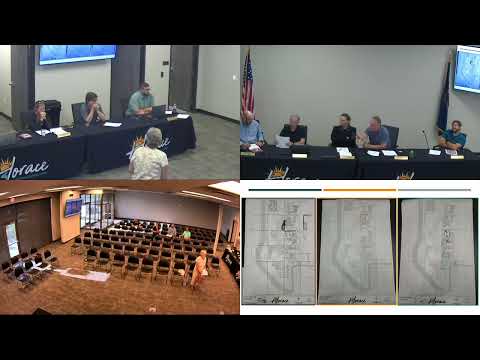
Chair opened the meeting and, after approving the agenda and minutes, turned to a staff presentation on a two-part outreach process that included a visual-preference workshop and a mapping/density exercise. The presenter, identified in the record as a staff member, said, “This is my last meeting with the city,” and asked the commission to provide bullet-point feedback that staff could convert into a draft ordinance and a schedule for a public hearing.
The staff presentation proposed a fixed overlay along several corridors — including County Road 17, 64th Avenue and parts of 76th Avenue and Wall Avenue — measured as 250 feet from the roadway center line. “My current proposal is a distance of 250 feet from the center line,” the staff member told the commission, and recommended that standards in the overlay take precedence over base zoning where conflicts arise.
Under the draft parameters discussed, frontage areas inside the 250-foot corridor would generally be limited to two stories and 35 feet. Selected mixed-use urban areas (notably Old Town and certain nodes) were proposed as three stories and 45 feet, with any development above that height handled through conditional use permits and design review. The presenter emphasized that the conditional-use process and design-review authority would allow the city discretion on a case-by-case basis and could be used to avoid “box” buildings.
Commissioners pressed staff on practical effects. Several pointed out that parcels on the east side of County Road 17 are roughly 550–600 feet deep, meaning a 250-foot corridor would leave room for taller structures behind lower frontages; commissioners asked whether a 250-foot width was sufficient or if 300–400 feet would be better. The staff response noted tradeoffs tied to parcel geometry, frontage protection and the city’s desire to balance corridor appearance with opportunities for increased density nearer the interstate.
On site design, staff proposed a required 20-foot landscape buffer outside the right-of-way, berming of 2–4 feet where appropriate, encouragement of rear or side parking configurations, limits on large paved front expanses, and measures to prevent blank walls. The presenter also proposed material articulation (a break in massing every 40 feet), roof-line variation and glazing minimums — “a proposal as 40% for the ground floor,” with smaller percentages for upper floors — as tools to improve pedestrian-scale design.
Commissioners raised concerns that mapped mixed-use designations could translate into apartment complexes. A commissioner asked whether the future land-use map was controlling for rezoning; another commissioner noted that much of the mapped mixed-use is already zoned or would require rezoning and site-plan review. Staff reiterated that the future land-use map is advisory, and that rezoning and design-review processes provide review points to shape outcomes.
The presentation also touched on a possible removal of the city’s 17 76 district from the small-area plan, an option staff said would require further analysis, legal review and discussions with landowners. Staff and commissioners agreed that removing that placeholder would be part of a larger ordinance rewrite if the commission pursues that path.
Chair and commissioners agreed there was general support for the 250-foot overlay as a working proposal and asked staff (including planning staff members referenced in the discussion) to prepare a draft ordinance reflecting the design-review language and corridor standards for the commission to review before noticing a public hearing. The commission did not take any final legislative action at the meeting; staff will circulate a draft ordinance for further commission review and potential public hearing scheduling.
Next steps: staff will prepare a draft ordinance incorporating the corridor boundaries, height limits, 20-foot landscape buffer, design-review enhancements and conditional-use provisions. The commission is expected to review the draft at a future meeting before any public hearing notice is issued.