Get Full Government Meeting Transcripts, Videos, & Alerts Forever!
Get email alerts on the Zoning topic
No spam. Unsubscribe anytime.
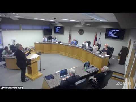
Council holds second reading on McGuire Street overlay to allow more public comment
Summary
After a public hearing and detailed staff presentation, the Warrensburg City Council moved the proposed McGuire Street corridor overlay district to second reading at the next meeting to allow additional public input and to attach clearer project attachments before final adoption.
Barbara Carroll, AICP, director of community development, presented a proposed ordinance to create the McGuire Street corridor overlay district, saying it is the result of nearly two years of planning and community engagement. Carroll told the council the overlay is intended to shape how private development looks along the right-of-way and to supplement — not replace — the existing general business zoning that applies to the corridor.
Carroll outlined key changes in the draft overlay: reducing the Maguire Street setback from 40 feet to 20 feet with a 30-foot build-to line, allowing buildings up to three stories where appropriate, requiring 30% first-floor transparency on facades facing public streets, and introducing material and entrance-spacing standards for long facades. On parking she said the overlay would allow reductions to 80% of the base parking standard and further small reductions if bicycle parking is provided, while also capping parking at 125% of the base standard to limit overbuilding.
She described new sign rules intended to reduce freestanding pylon signs: pole/pylon signs would be prohibited in the overlay and ground-mounted signs would be limited to 8 feet tall with a maximum 100-square-foot display area. Carroll also described increased perimeter and foundation landscaping and screening requirements and explained that exceptions to overlay standards would be considered by the Planning and Zoning Commission under a less-strict, legislative-style standard; parties could appeal Planning and Zoning decisions to the City Council.
Council members asked detailed questions on grandfathering, how the district would apply to lots with multiple driveways, and which parcels would fall inside the mapped yellow study area. Carroll said the overlay would apply when redevelopment triggers are met (for example, abandonment for more than 365 days, a full teardown and rebuild, or certain changes of use) and would be implemented as parcels redevelop rather than applied retroactively to existing uses.
One council member asked to delay final action to allow two more weeks of public comment; staff said no republication was required because the public hearing had been opened and closed. The mayor closed the hearing and the council agreed to hold the second reading to the next meeting and asked staff to attach clearer scope/map exhibits before that second reading so the record explicitly shows what “phase” or street segments are included.
Why it matters: The overlay would change how future development along Maguire Street looks and functions — affecting setbacks, allowable building form, parking rules, signage and landscaping — and it will be applied over time as properties are redeveloped. The council’s decision to delay final adoption gives the public another formal opportunity to comment and asks staff to provide clearer scope materials before a final vote.
What’s next: The council moved the ordinance to second reading; staff will work with consultants to attach a more detailed map and scope of the McGuire Street improvements before the next meeting when the council will take final action.