Get Full Government Meeting Transcripts, Videos, & Alerts Forever!
Get email alerts on the Zoning topic
No spam. Unsubscribe anytime.
Planning committee maps consolidated zoning for North Scarborough, flags Gorham Road traffic concerns
Summary
The Long Range Planning Committee refined draft consolidated zoning districts for North Scarborough, weighing sewer-driven lot-size rules and traffic risks on Gorham Road; members favored neighborhood centers, conservation buffers and pedestrian trails while no formal votes were recorded.
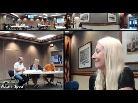
The Long Range Planning Committee on July 10 continued work to consolidate the town nd create a smaller, clearer set of zoning districts, focusing this session on North Scarborough and nearby corridors. The committee sketched neighborhood centers, conservation corridors and transition areas and debated how sewer availability and traffic on Gorham Road should shape future growth.
The Chair said the project began as an exercise in "thinking about who it's serving," noting the town currently has 25 zoning districts and the consolidated draft would reduce that to about 10, including a new working-waterfront category. "This spreadsheet really just has some of the things that we've talked about for the character and who it serves," the Chair said, framing the team's mapping work as conceptual guidance for council growth-area decisions.
Members focused on three scales of places neighborhood level, community centers and regional centers nd discussed how water and sewer change minimum lot sizes. The Chair and other participants described thresholds the committee used in the exercise: with water and sewer, minimum lots could be roughly 10,000 square feet; without sewer, they cited a roughly 20,000-square-foot minimum. Committee members also noted suburban-residential parcels commonly fall in a 5,000—0,000-square-foot range.
Traffic and connectivity dominated the conversation about where to allow higher density. One committee member warned against repeating past interactions with the state Department of Transportation, saying, "oh, we don't want DOT coming back in," and urging the group to preserve village character rather than encourage a four-lane redesign of Gorham Road. Several members described existing commuting patterns that divert traffic to secondary roads such as Beach Ridge Road and said those unofficial route changes should inform where higher density is permitted.
Across multiple table reports, teams proposed keeping existing neighborhood centers where services already exist, placing conservation buffers along rivers and ponds, and using larger lots or rural-residential designations on town roads to limit through traffic. Participants also recommended pedestrian connections and trails to link neighborhoods to conservation areas; one member said she currently walks along a road with no sidewalk and called for safer walking routes.
A committee member introduced a motion to accept the prior minutes early in the meeting, but the motion text is incomplete in the transcript and no seconder or vote is recorded. Otherwise the session remained conceptual: the group agreed to finalize table overlays and prepare a report-back for the council on growth-area recommendations and next steps.
The committee did not adopt ordinances or take recorded votes in the provided transcript. The zoning consolidation work will continue, with staff and committee members scheduled to refine the maps and return recommendations to the council.