Get Full Government Meeting Transcripts, Videos, & Alerts Forever!
Get email alerts on the Zoning Viewshed topic
No spam. Unsubscribe anytime.
Commissioners review viewshed model and proposed overlay to limit building heights
Summary
At a July planning commission meeting, staff presented a citywide viewshed model and proposed overlay that would cap heights in key areas to protect bay and neighborhood views; commissioners and residents debated the tradeoffs between preserving views and enabling redevelopment.
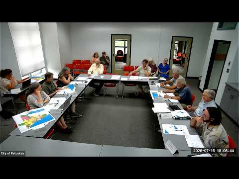
Petoskey City Planning Commission members on Wednesday reviewed a newly rerun viewshed model and a proposed overlay map that staff said will be posted on the project website.
Presenter (identified in the meeting as the project consultant/presenter) said the Ann Arbor office reran the model using actual building heights and produced a map that shows where 25‑, 30‑ and 35‑foot limits would apply. "Now that we've got the model done, let's put this in a form that's comparable to the zone map to basically show what area is gonna have 25 foot high buildings, what area is gonna have 30 foot high buildings," the presenter said during the meeting.
Why it matters: commissioners framed the overlay as a tool to protect scenic and neighborhood views of the bay and historic downtown while acknowledging the overlay will impose hard height limits that could affect redevelopment options for some parcels.
Commissioners asked whether the model would be dynamic for individual proposals or fixed as a map. The presenter said both are possible: staff can post the interactive model for public review and, if a developer proposes a new project, the city can plug in that proposal and rerun the model to show impacts. Commissioner 7 pressed that the percentage changes the model reports may not capture the human experience at key vantage points, calling 25 or 35 percent reductions potentially meaningful even where the citywide percentage looks small.
Several commissioners flagged data gaps the model currently treats simplistically, especially tree canopy. "We could get reliable data," one commissioner said, urging staff to incorporate tree canopy because it can change and affect view analysis.
Residents who spoke during the public comment portion reinforced concerns about preserving views. Grace Ketchum, who identified herself in remarks to the commission, said she lives adjacent to one of the areas under discussion and told commissioners she did not want three‑story buildings near her neighborhood. Another resident, who identified herself as Karen, said the community does not need more hotels and argued they "don't pay livable wages" and can consume local housing stock.
Commissioners also raised economic concerns. Some said a rigid 25‑foot overlay could make redevelopment of marginal parcels—such as a burned hotel site or parts of the Bayview Mall corridor—economically infeasible if a third story is needed for a project's financial viability. Staff noted planned-unit‑development (PUD/PDG) processes provide some flexibility but emphasized that the overlay's textual exceptions (for example, hospital areas) will be included in the ordinance language.
The commission requested that the consultant Dan return to a future meeting to demonstrate the interactive tool; staff confirmed the interactive model will be posted within days. The item was continued for further discussion; no formal ordinance adoption or recorded vote on the overlay was taken during the session.