Get Full Government Meeting Transcripts, Videos, & Alerts Forever!
Get email alerts on the Land Use topic
No spam. Unsubscribe anytime.
Planning commission recommends conditional use for Redwood steep‑slope excavation
Summary
The commission recommended conditional use CU‑1‑26 to permit excavation on steep slopes for a 62‑acre Redwood development off Wilson Road, contingent on site‑plan approvals, stormwater and conservation district signoffs, and planting/landscaping specifications.
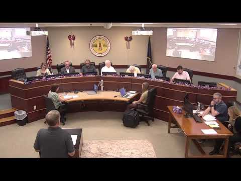
The Murrysville Planning Commission on July 14 recommended that borough council approve conditional use CU‑1‑26, allowing excavation on steep slopes for the Redwood development, a proposed multi‑building project on a 62‑acre R‑3 parcel off Wilson Road.
The commission’s recommendation, offered after a public hearing, includes conditions that outstanding engineering reviews and permits must be satisfied during the site‑plan stage. Staff said approval would be contingent on submission of a detailed stormwater management plan, soil conservation service (and any DEP) reviews, and final site‑plan approval before large‑scale grading begins.
Applicant representatives told the commission they had updated plan dates, provided an updated geotechnical report that has been reviewed, submitted a detailed reforestation plan and perspective drawings, and calculated earthwork estimates of about 354 cubic yards of cut and 370 cubic yards of fill. They said the proposed development maintains a required 50‑foot preservation buffer in many places, proposes supplemental evergreen plantings, and places buildings hundreds of feet from many neighboring rear yards (examples cited include 136 feet and 280 feet in different sections of the site).
During public comment and questioning, residents and commissioners pressed the applicant on soils and vegetation survival. A nearby resident raised concerns about shallow rock and low percolation reducing survival of bare‑root seedlings. The applicant acknowledged difficult soils in places, said percolation testing had been done for stormwater basins, and said the applicant will contract with licensed landscape professionals to create planting specifications and provide warranty/replacement provisions for plantings that fail.
Commissioners and staff also discussed the delineation of steep slopes on the topographic plans: gray‑shaded areas on the submission reflect slopes steeper than 25 percent, and the applicant said the absolute maximum steepness proposed in some limited areas is about 3.5:1, though most grading will strive to remain nearer 3:1 or 4:1. Staff emphasized that driveway separation, screening, and other site‑plan requirements will be enforced as part of the later review process.
The commission voted to recommend approval by voice vote; the recommendation notes that final approvals and permits (including stormwater, any required NPDES/DEP signoffs and soil conservation district input) remain to be completed during site‑plan and permitting review.