Get Full Government Meeting Transcripts, Videos, & Alerts Forever!
Get email alerts on the Transportation topic
No spam. Unsubscribe anytime.
ODOT outlines Safe Routes and urban design study to add safer crossings in Mount Angel
Summary
An ODOT planner told the Mount Angel City Council the agency is conducting an "urban design verification" study and applied for Safe Routes to School funding for two enhanced crossings; the study is funded at about $100,000 and the grant request is roughly $1 million for two crossings.
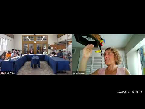
Jenna Berman of the Oregon Department of Transportation told the Mount Angel City Council the agency has launched an "urban design verification" study to fill a gap between high-level transportation planning and detailed project design for state highways that pass through small towns.
Berman, who identified herself as an ODOT active-transportation staffer, said Mount Angel was chosen for the pilot because the city is scheduled for an ADA ramp project in the 2024–27 timeframe and because it has multiple crossings that do not meet current safety standards. "We got about a $100,000 to do this study," she said, describing the funds as intended to pin down exact crossing locations and design elements so improvements can be added when maintenance or paving projects occur.
Why it matters: the study is intended to make it easier to add pedestrian and bicycle improvements during routine state projects, rather than waiting for separate, costly reconstructions. Berman said the approach is meant to produce designs that can be added to an upcoming ramp or pavement project so communities see safety changes sooner.
In the council presentation, Berman detailed concepts for two priority locations. At College Street she described curb extensions ("bulb-outs") to shorten crossing distances, place pedestrians in front of parked cars for visibility and slow turning traffic. She told councilors and residents that some on-street parking spaces would be removed where those bump-outs are added and that designs would account for utility poles and truck turning paths.
On Markham Street the design is larger and intended to consolidate several nearby crossings into one enhanced, marked crossing with flashing beacons. "We would put a lot of improvements into one crossing — shorten it, add lighting, put those zebra stripes down — and direct the pedestrians to use that one," she said, explaining the team may close or remove markings from adjacent diagonal crossings to encourage consolidated use.
Councilors raised operational concerns including whether large trucks, such as 40-foot trailers, could make turns without running up on curbs. Berman said ODOT runs vehicle-turn simulations in design and would test templates for the truck sizes that commonly pass through the area, and that engineers can adjust curb geometry or add reinforcement where needed.
Berman also described a parallel-route strategy for bicycles — provide bike lanes where space exists and identify calmer parallel streets where cyclists can travel when the highway is not suitable. On timing, she said the Safe Routes to School grant decision is expected in December or January and that, if awarded, the county typically has about five years to complete construction. She noted ODOT is also exploring rail-related funding for pedestrian improvements near crossings.
Next steps: the ODOT/consultant team will publish the concepts for public comment. Residents were encouraged to participate in the outreach and to submit written comments; Berman said the team will use public feedback to refine designs before final engineering and construction coordination.