Get Full Government Meeting Transcripts, Videos, & Alerts Forever!
Get email alerts on the Zoning Map topic
No spam. Unsubscribe anytime.
Commission addresses split‑zone parcels and proposes GIS overlays to handle nonconforming lots
Summary
Commissioners reviewed a code interpretation that determines a parcel’s zone by the largest zoning area when official maps split lots, discussed GIS mapping to show nonconforming lots, and explored overlay and cluster—subdivision tools to resolve small, nonperforming parcels created historically.
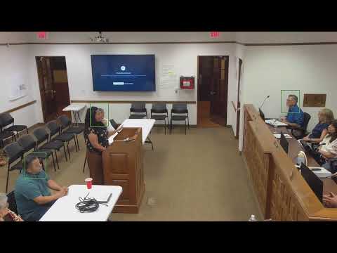
Commissioners spent a significant portion of the June 15 meeting on how the town’s zoning map treats parcels that are bisected by zone boundaries. Staff said where a zone boundary divides a lot and the official zoning map does not show precise dimensions, the applicable zone should be determined by the largest area of zoning covering the parcel.
"If a property had... it's showing two different zones," staff said while displaying the GIS base map. He proposed using GIS layers to identify nonconforming lots and to visualize where lines cut through parcels so the town can prioritize clean‑up or overlay strategies.
Commissioners and staff discussed resident requests to switch parcels from RF to RA and how some parcels are legally nonconforming because they were split by historic irrigation/channel projects (EBID) in the 1930s. Staff noted the legal boundary used by the county mapping may not always match actual deed or survey lines, and that any rezoning or boundary correction would require a formal process.
Tools under consideration included overlays to preserve the plaza and other historic areas, cluster subdivisions to protect greenbelt while allowing development density elsewhere, and a joint session with the Board of Trustees and county assessors to clarify parcel mapping and taxation consequences. No code amendment or rezone was adopted at the meeting; staff will prepare mapping layers and policy options for future meetings.