Get Full Government Meeting Transcripts, Videos, & Alerts Forever!
Get email alerts on the Zoning And Economic Development topic
No spam. Unsubscribe anytime.
Estacada planning and economic development panels urge comprehensive‑plan update to capture retail and keep local dollars
Summary
At a joint meeting, Estacada planning and economic development commissioners said mixed residential zoning and first‑bidder land sales are leaving the city "residential‑rich, commercial‑poor," driving residents to shop in neighboring towns. They recommended updating the comprehensive plan, using TGM funding and a wetland inventory to target viable commercial sites, and pursuing catalytic projects such as the Old Mill property.
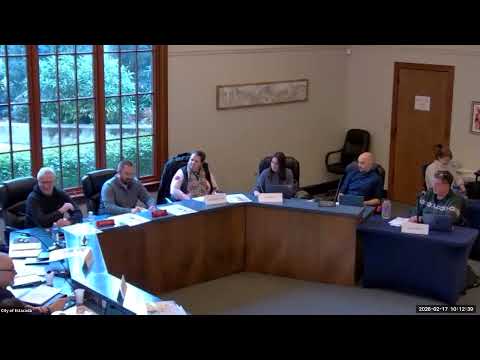
Members of the City of Estacada’s Planning Commission and Economic Development Commission met jointly to push for a clearer long‑term vision and zoning changes aimed at attracting retail and commercial investment to keep residents’ spending inside the city. Commissioners said existing parcel sales and mixed residential allowances have favored homebuilders and left insufficient, appropriately zoned land for grocery stores, restaurants and other commercial anchors.
"We're growing and people choosing to live here. And yet every single person is leaving town to go invest their economic dollars in other communities," said Ryan Carpenter, a planning commissioner and member of the economic development commission, summarizing the meeting's central concern.
Alan Wilson, the city's senior planner, briefed the group on current zones — highway commercial, outdoor commercial, riverfront commercial, light industrial and the mill mixed‑use (MMU) area — and noted the city will begin a comprehensive planning project this year funded by a Transportation Growth Management (TGM) grant. Commissioners said zoning created in 2019–2020 has not always produced the expected development and pointed to large swaths of the highway commercial zone that remain undeveloped.
Commissioners discussed concrete constraints. One member estimated the highway commercial "brown" zone at about "give or take, 40 acres," and staff reiterated that wetlands, topography and the urban growth boundary (UGB) limit where large retailers can locate. Alan Wilson told the group the city has secured a grant to complete a local wetland inventory in the coming year, which will help identify developable parcels.
Business owners and commissioners said the Old Mill property and its investor, Steve Locke, could serve as a catalyst if the city and developers align vision and zoning to support grocery, services and other commercial uses. "It's the first time that we've actually seen real, legitimate, and actionable plans to begin working through this space," one commissioner said of the Old Mill site.
Attendees recommended several near‑term actions: update or at least refine the comprehensive plan to create a clear 10‑ to 20‑year vision that can be shared with potential investors; produce a concise 'vision' packet to steer developers; pursue targeted market research on what residents consider missing; and invite example communities or university planning programs to offer case studies. Staff said the comprehensive plan sets the city's vision for state filing and then informs development‑code changes needed to allow specific uses.
On the question of expanding the UGB, staff said they had not heard council support and warned such moves are politically difficult and subject to close review by the Department of Land Conservation and Development (DLCD). Commissioners noted alternative mechanisms such as land swaps or strategic annexations and urged the city to inventory and prioritize parcels within the current UGB that are most likely to deliver commercial outcomes.
No formal votes or ordinances were taken at the meeting. Commissioners agreed to continue the joint conversation, seek sample materials from nearby cities (including Sandy), and bring more detailed parcel and market data to future sessions to shape zoning or development‑code amendments.
The joint session ended with staff and commissioners laying out next steps: staff will follow up on the wetland inventory timing, demonstrate examples of other cities' comp‑plan materials at a future meeting, and the commissions will consider a working session to identify 'hot spots' on the city map for targeted zoning work.