Get Full Government Meeting Transcripts, Videos, & Alerts Forever!
Get email alerts on the Floodplain Variance Eade topic
No spam. Unsubscribe anytime.
Knox County BZA defers floodplain variance request; staff cites FEMA elevation, no‑fill limits
Summary
A Knox County property owner seeking permission to leave two accessory structures in a mapped floodplain was told to obtain engineering and work with the county floodplain manager; the Board of Zoning Appeals deferred the request 60 days.
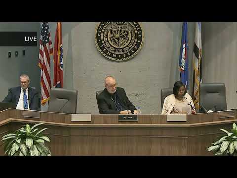
The Knox County Board of Zoning Appeals on Wednesday deferred for 60 days a request from Caitlin Eade to retain a chicken coop and a 12-by-24 shed in a mapped floodplain on her 3.6-acre property, after staff and board members raised technical and public-safety concerns.
Eade told the board the structures are non-habitable, mounted on blocks with no utilities, and that she and her husband had taken steps to make them flood resistant. She said the family would sign an assumption-of-liability if the board approved the variance. "We have offered to sign an assumption of liability in the event of a flood if there was any damages done because of these structures," she said.
Drew Thurman, Knox County floodplain manager, said both the FEMA base flood elevation and a local county minimum elevation must be considered and that the applicant’s coop sits well below the FEMA-100-year elevation. Thurman said raising the coop to meet FEMA without violating the county’s no‑fill regulatory line would be difficult: "The FEMA base flood... is around 960 feet... the coop is sitting at around 952... you'd have to bring in 8 feet of fill," he said, adding that the no‑fill line prevents bringing in fill in that area.
Chair Paul Huff told the applicant the board could not approve structures that violated FEMA requirements without appropriate engineering or regulatory relief. Thurman outlined alternative compliance paths — moving the structures north of the no‑fill line and elevating them to the county minimum (about 963 ft), or installing flood vents and proper anchoring — but warned that each path requires technical study and might not be feasible for the lower‑ground structure.
Given those constraints, Eade asked for time to pursue a no‑rise study, locate higher ground on the parcel, or consider elevating/relocating the structures. The board granted a 60‑day deferral and asked the applicant to work closely with Thurman and an engineer and to return with documentation.
What the board said - The board emphasized floodplain safety and downstream risks from flood debris if structures are not properly anchored or sited. - Staff and the chair said the no‑fill regulatory line and FEMA elevation standards limit options on the property's low ground. - The board indicated it would look more favorably on a variance if staff and the floodplain manager concluded the applicant had pursued reasonable mitigation or a narrow variance tied to compliance.
Next steps The applicant was directed to consult the floodplain manager and an engineer, pursue a no‑rise or elevation analysis as appropriate, and return to the BZA in 60 days with technical documentation. The board cautioned that some fixes (bringing in fill in a no‑fill zone) may not be permitted without additional approvals.