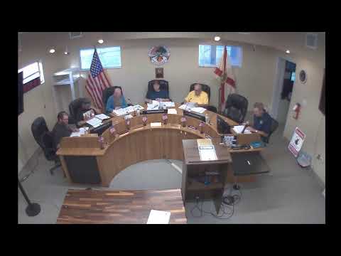
Committee asks staff to update maps after questioning park/open-space totals
Summary
Committee members said the maps and open-space acreage in the packet are outdated; they flagged a recent 8-acre purchase and asked for mapping updates from the Central Florida regional council to ensure park acreage and passive-park designations are accurate.
Committee members said the packet's maps are old and do not reflect recent land acquisitions. Tim Morton noted that the city recently purchased about 8 acres on US 1 that may not yet appear in mapping layers. "The city just purchased 8 acres at Halifax in US 1, and it probably doesn't show up yet either," Morton said.
Members recommended engaging the Central Florida regional council to update census data, mapping, and growth charts so the comprehensive-plan chapters accurately show parks, open space and acreage ratios. Staff was asked to verify park definitions (passive vs developed) and the park acreage numbers before the next review.
AI generated
The text on this page is AI generated. Summaries, highlights, analysis, and video transcripts are all produced from the original source material.
AI can make mistakes, so if you spot one, and we will fix it for everyone.
Note: the source content is unaltered by us. Any content source we link to, be it a video, an audio recording, or a document, is presented exactly as its publisher released it. That publisher is usually a government body, sometimes an individual official or another organisation.