Get Full Government Meeting Transcripts, Videos, & Alerts Forever!
Get email alerts on the Tier Three topic
No spam. Unsubscribe anytime.
Land Use Review Board explains tier-three mapping, asks legislature for more time and narrower review
Summary
A member of Vermont's Land Use Review Board described how the board developed its first tier-three draft, said the October mapping overreached in places, and said the board is asking the legislature to postpone effective dates and to allow narrower review criteria. He also explained the road-construction threshold that can trigger Act 250 review.
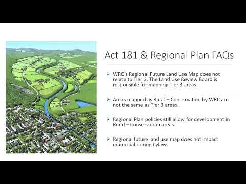
Alex, a member of the state Land Use Review Board, joined the Grafton meeting to explain tier-three mapping and how the board reached its draft. He said a working group of about 25 stakeholders informed the October draft and that the board used state data (Vermont Fish & Wildlife connectivity blocks, lidar-derived forest cover and headwater drainage layers) to identify sensitive areas.
"We formed that group last year... that's how we got started," Alex said, describing criteria the board used to avoid including broad swaths of the state in tier three and to focus on the most sensitive areas. He acknowledged the October draft had issues—particularly long, scattered habitat-connector segments along some roads—and promised a revised map by late April.
Alex said the board has asked the legislature to: (1) give the board rulemaking authority to narrow the Act 250 review criteria applied in tier-three areas, and (2) postpone multiple effective dates (including the road rule) to allow more public input, with a target of December 31, 2027. He also explained the road-construction provision that was enacted in Act 181: an Act 250 permit can be triggered for new roads longer than 800 feet, or for combined roads and driveways exceeding 2,000 feet. He called those thresholds a "blunt tool" intended to avoid fragmenting interior forest blocks but acknowledged landowners' cost concerns and said the board will publish practical guidance on road vs. driveway distinctions.
Why it matters: Tier-three mapping determines locations where Act 250 jurisdiction will expand based on natural-resource sensitivity, and the road rule sets a measurable trigger that could bring many otherwise private development activities into the Act 250 permitting process. The board's request for deferred deadlines and narrower criteria seeks to make implementation more practical and to allow additional public input.