Get Full Government Meeting Transcripts, Videos, & Alerts Forever!
Get email alerts on the Zoning Map topic
No spam. Unsubscribe anytime.
Gary council adopts citywide zoning map after public hearing amid wetlands and data-center concerns
Summary
After a public hearing and presentations by planning staff, the Gary Common Council voted 8–0 to adopt a rewritten citywide zoning map, while residents urged amendments to protect Chase Street wetlands and asked for clearer data-center siting rules.
The Gary Common Council voted 8–0 on July 21 to adopt CPO 2026-28, a comprehensive rewrite of the city's official zoning map that staff said aligns the map with a new Unified Development Ordinance and an interactive GIS parcel tool. Planning Commission president Tom Sierra told the council the staff and commissioners had worked on the map for more than a year and had held neighborhood workshops and stakeholder meetings before reporting a favorable recommendation to the council.
Corey Sharp, a planning department team member, walked the council through the new land-use districts, describing five residential classifications, four business districts, revised manufacturing categories and new mixed-use and destination zones. "Any use that exists today that is different with the new map becomes legally nonconforming, and that allows that use to continue until it's sold, and then it would revert into the new district," Sharp said as staff emphasized the map's parcel-level legend and measurement tools.
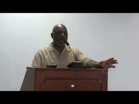
Residents urged targeted changes during the required public hearing. Grace Tafoya asked council to amend one strip along Chase Street where a Wetlands Initiative restoration project is underway, saying heavy-industry designation there would "completely spit in their face the millions of dollars they're investing." Another resident asked for clearer identification of where data centers would be permitted and expressed concern about industrial zoning in floodplains. Planning staff responded that floodplain is an overlay, not a base zone, and said the overlay constrains development: "Floodplain sits on top of the zone which still prevents that type of large manufacturing use holistically," Dr. Sylvia Martin, the planner who led the map's development, told the council.
Council members pressed staff on whether outside environmental and federal agencies could still block inappropriate development, and staff confirmed industrial projects would still require site-plan review and approvals from EPA, FEMA, or the Army Corps as applicable. Several speakers at the hearing urged earlier resident consultation; Councilman Darren Washington urged residents to engage with their council members early in the process. The ordinance will take effect August 1, 2026.
What happens next: staff said the map is amendable; the council can send specific amendment language back to the plan commission for consideration, and any future development in regulated overlays would still require site-plan review and outside regulatory approvals.