Get Full Government Meeting Transcripts, Videos, & Alerts Forever!
Get email alerts on the Gis topic
No spam. Unsubscribe anytime.
GIS director presents budget; committee approves GIS budget and discusses maps and possible aerial flight
Summary
GIS staff finalized script changes and delivered district maps; the committee approved the GIS budget and discussed printing large maps, a digital TV carousel option and an upcoming aerial flight project that will draw down the GIS fund balance.
Colin presented the GIS budget and report, telling the committee the department's budget would remain largely the same with modest increases for professional services and software licensing. He said the department has completed several projects including drainage-district farm-line calculations and county-board-district maps and that staff can print 8.5 x 11 maps for members or supply larger prints on request.
"We have finalized our script changes and our monitoring... It seems like everything is working as it supposed to now," Colin said. He noted the GIS fund had a healthy balance but that a planned aerial flight project — discussed as a sizable expense — would reduce that balance when executed.
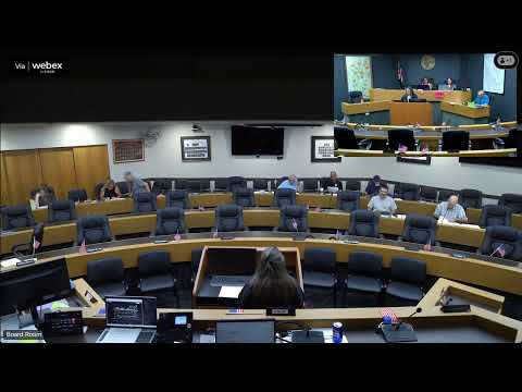
Committee members discussed alternatives for displaying maps, including printing large framed maps or rotating digital maps on the meeting-room televisions. Colin said the department can provide digital map output suitable for a PowerPoint carousel to run on the meeting-room TVs.
The committee approved the GIS budget on a roll call vote and placed the GIS report on file; a motion to pay GIS bills also carried.