Get Full Government Meeting Transcripts, Videos, & Alerts Forever!
Get email alerts on the Study Area topic
No spam. Unsubscribe anytime.
Team outlines 17‑mile study area and says corridor carries nearly 210,000 vehicles a day
Summary
Consultants described the 17‑mile I‑40/I‑75 West Knoxville study limits, shared crash hotspot maps and weekday speed heat maps, and said truck movements and way‑station weaving are key contributors to crashes and congestion.
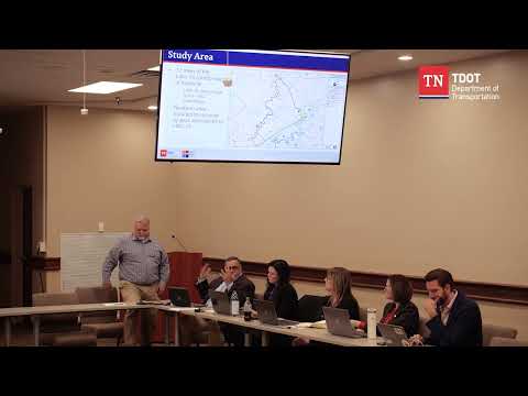
Brad Thompson and STV staff described the PEL study area as roughly 17 miles of the I‑40/I‑75 corridor west of downtown Knoxville, running from the I‑40/I‑75 system interchange to the I‑640 interchange. "We've basically got ... 17 miles of the I 40 I 75 corridor, West Of Knoxville," Thompson said while showing the study limits.
The team presented baseline condition materials including speed heat maps (2022–2024) and crash density figures. Thompson said the corridor contains multiple crash hotspots and congestion bottlenecks — nine of Region 1's top 20 bottlenecks are in this corridor — and noted heavy freight presence: "nearly 210,000 cars a day" and in some segments about one‑third of traffic are trucks, contributing to weaving near way stations and related collisions.