Get Full Government Meeting Transcripts, Videos, & Alerts Forever!
Get email alerts on the Mcfrm Model Choice topic
No spam. Unsubscribe anytime.
Eastham commission weighs adopting state MCFRM maps, leans toward 2050 baseline
Summary
Eastham conservation commissioners debated whether to adopt the Massachusetts Coast Flood Risk Model for local floodplain regulation and favored using the 2050 projection as a practical compromise while scheduling a formal reevaluation date.
EASTHAM — Commissioners at the Eastham Conservation Commission work session on July 22 reviewed the Massachusetts Coast Flood Risk Model (MCFRM) as a possible basis for expanding local floodplain jurisdiction to account for sea level rise. Shannon Holst of Barnstable County and Sea Grant described MCFRM as a parcel-scale model that incorporates sea level rise, storm surge and elevation data and said towns may choose whether and which model year to adopt.
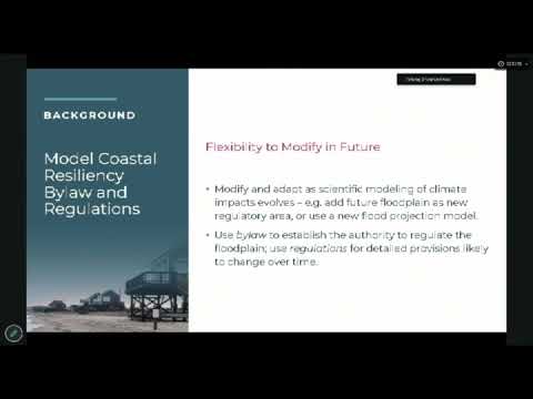
Holst told commissioners, “We have offered the Massachusetts coast flood risk model as the current best available data,” and said the model can be adjusted for local use. Commissioners probed the model’s assumptions, particularly the state’s use of climate scenarios and how to balance forward-looking protection with near-term practicality. Commissioner Alex asked whether to use 2050 or 2070 projections; Holst said 2050 is “more palatable” and recommended building in a re-evaluation date so the town can revisit the choice as new science becomes available.
Critics on the commission raised technical objections to the modeling scenario behind MCFRM. Commissioner Chuck Wagner urged caution about relying on RCP 8.5-based projections, calling parts of the scenario “implausible.” Holst and other commissioners responded that MCFRM remains the only parcel-level mapped option currently available and that towns can adopt selected elements of the model, noting that Chatham, Orleans and other Cape towns have already adopted higher local standards.
The commission directed staff to circulate Eastham-specific maps (including the town’s existing 100-foot buffer), to invite Holst and Heather McElroy back for a focused technical follow-up, and to continue drafting bylaw/regulation language ahead of a target to place a coastal resiliency bylaw before Town Meeting in May 2027.