Get Full Government Meeting Transcripts, Videos, & Alerts Forever!
Get email alerts on the Maps Layout topic
No spam. Unsubscribe anytime.
Planners agree to enlarge key historic map after residents say draft is too small
Summary
During a review of Bakersfield's draft town plan, commissioners and staff agreed the historic map and some images are too small for print and will be enlarged or moved; staff said the final layout will remove Word comment bars and appear larger than the working draft.
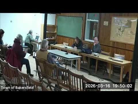
Commission members and staff spent the opening of the meeting examining the draft town plan’s layout and images, with several participants saying the historic map was unreadable at the current draft size. Chair (S1) opened the discussion by asking whether the map “might be made bigger,” noting that paper readers can’t click to enlarge the image.
Planner (S3) explained the draft view includes Microsoft Word comment bars that reduce the visible map area and told the group the final plan “will actually be a little bit bigger” when those artifacts are removed. Participants agreed to identify which images should move to a separate page or be given larger space in the printed plan so historic material is legible in paper copies.
The commission asked staff to produce a version of the plan showing the map and suggested illustrations at a larger scale for the next meeting. That version will inform decisions about whether images become standalone appendix items or are integrated into chapter layouts.