Get Full Government Meeting Transcripts, Videos, & Alerts Forever!
Get email alerts on the Parcel Reconciliation topic
No spam. Unsubscribe anytime.
County will reconcile conservancy maps and tax rolls after auditor flags inconsistencies
Summary
County GIS and auditor staff will overlay DNR conservancy shapefiles with the auditor’s taxable-parcel lists to identify gaps, investigate whether parcel splits or software changes caused omissions, and determine corrective steps.
County staff told the auditor they will reconcile DNR district shapefiles with the auditor’s tax-roll data to identify parcels inside conservancy boundaries that are not currently being charged a conservancy levy.
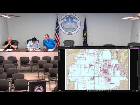
A county GIS speaker said the team pulled DNR files into the county system and overlaid parcel boundaries to develop a list for Honey Creek and Prairie Creek; they reported the Honey Creek polygon includes about 1,745 parcels. The staff noted that parcel splits, outdated property records or data migrations (software changes) could explain missing levy entries and that the reconciliation process already underway should reveal the scope.
Auditor Larry Hutchings said the county will proceed carefully and legally, and that any retroactive charges would be handled through proper court or statutory channels rather than imposed informally. DNR said it will continue outreach to find current district contacts when directory entries are outdated.
County staff said they will complete the reconciliations and report back, with DNR available to assist if district boards are inactive or records need court confirmation.