Get Full Government Meeting Transcripts, Videos, & Alerts Forever!
Get email alerts on the Land Use Overlay topic
No spam. Unsubscribe anytime.
Residents press city on Westside development, council asks neighborhood for overlay priorities
Summary
At a Laramie City Council community forum, residents raised floodplain, access and housing-affordability concerns about a proposed Westside development; council and staff described planning, review and potential use of an overlay district and asked the neighborhood to define desired standards.
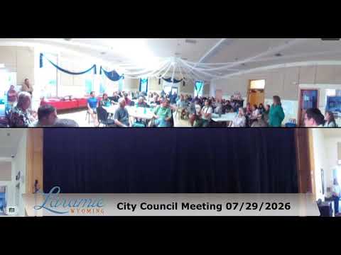
A packed community forum convened by the Laramie City Council focused on a privately proposed Westside development and possible neighborhood protections. Residents pressed the city on flood risks, traffic access and whether public financing tools would be tied to infrastructure improvements. City staff outlined the standard review steps that any developer would face and council invited the neighborhood to propose overlay standards.
Facilitator Brenda, who said she works with the University of Wyoming student housing and activities, explained the meeting format and prioritized topics including housing and community development. City staff (identified in the discussion as Todd, the city representative) described the planning review path: "They would be evaluated by [planning and engineering]," he said, elaborating that engineers and a plan administrator must evaluate drainage, building and floodway requirements before permits could proceed. The council repeatedly emphasized that an overlay district could add standards—like open space or height limits—only if neighborhood residents specify what they want added to existing zoning.
Residents expressed specific concerns about the site's classification and precedent-setting effects. A participant asked whether a 'white designation' on a map — described by residents as an undeveloped label — would become a statewide precedent; staff replied that each property is assessed on its own factors, including past use and access. The council urged continued public input and offered a sign-up method and QR code for updates.
Next steps: council members said they will not unilaterally impose overlay rules and instead asked the neighborhood to compile priorities for an overlay that council will consider bringing forward.