Get Full Government Meeting Transcripts, Videos, & Alerts Forever!
Get email alerts on the Land Use topic
No spam. Unsubscribe anytime.
Council reviews revised final plat for Cedar Hill to restore Lot 23 boundary
Summary
Council members reviewed a revised final plat for Cedar Hill (approx. 21.50 acres) to correct recording errors, restore a missing southern lot line for Lot 23, and change one proposed address; staff recommended placing the item on the consent agenda.
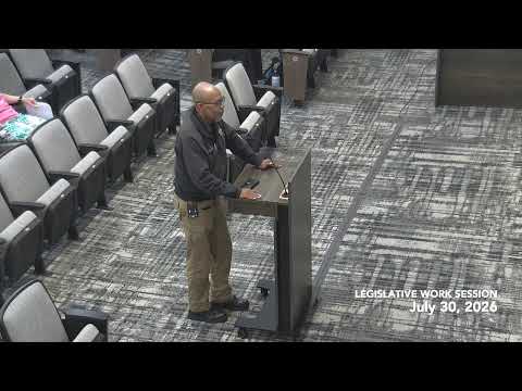
Council member Nicole Miller introduced item 2054, a request for revised final plat approval for Cedar Hill to correct recording errors and restore the southern lot line of Lot 23.
Chelsea Tubbs, the presenter, said the purpose of the revised plan is "to correct too small errors" for recording purposes and to reinstate the southern lot line so lot boundaries are separate from the master amenity area. The parcel was identified as approximately 21.50 acres along Slater Mill Road and Shawnee Trail in Landlot 80, and the correction includes a proposed address change for one lot.
Council members described the request as "pretty self explanatory" and agreed to place the item on the consent agenda for formal action at the regular meeting next Monday.