Get email alerts on the Infrastructure topic
No spam. Unsubscribe anytime.
Seneca County approves aerial-imagery contracts for GIS services (EagleView, Wolpert)
Summary
The board authorized contracts for aerial imagery services — one with Pictometry International (DBA EagleView) and another with Wolpert Inc. on behalf of the county auditor — to support GIS and auditor mapping work.
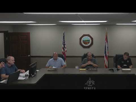
Seneca County commissioners approved two resolutions authorizing contracts for aerial imagery services. County staff presented a contract with Pictometry International Corporation (DBA EagleView) for imagery flight services on behalf of county departments and a separate contract with Wolpert Incorporated to provide imagery services for the County Auditor.
Commissioners moved and approved each resolution by roll-call vote. County staff said the imagery services are intended for GIS updating and auditor mapping needs; no contract dollar amounts were specified in the public meeting remarks. The approvals will allow county departments to update parcel and aerial basemaps used for planning, assessment and other county functions.
AI generated
The text on this page is AI generated. Summaries, highlights, analysis, and video transcripts are all produced from the original source material.
AI can make mistakes, so if you spot one, and we will fix it for everyone.
Note: the source content is unaltered by us. Any content source we link to, be it a video, an audio recording, or a document, is presented exactly as its publisher released it. That publisher is usually a government body, sometimes an individual official or another organisation.