Get Full Government Meeting Transcripts, Videos, & Alerts Forever!
Get email alerts on the Infrastructure topic
No spam. Unsubscribe anytime.
Seneca County approves aerial-imagery contracts for GIS services (EagleView, Wolpert)
Summary
The board authorized contracts for aerial imagery services — one with Pictometry International (DBA EagleView) and another with Wolpert Inc. on behalf of the county auditor — to support GIS and auditor mapping work.
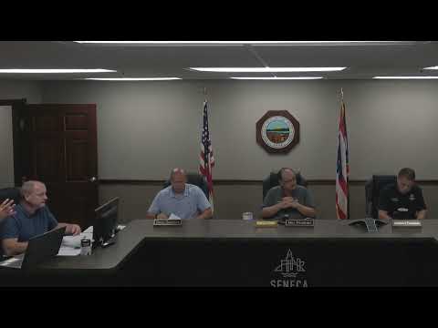
Seneca County commissioners approved two resolutions authorizing contracts for aerial imagery services. County staff presented a contract with Pictometry International Corporation (DBA EagleView) for imagery flight services on behalf of county departments and a separate contract with Wolpert Incorporated to provide imagery services for the County Auditor.
Commissioners moved and approved each resolution by roll-call vote. County staff said the imagery services are intended for GIS updating and auditor mapping needs; no contract dollar amounts were specified in the public meeting remarks. The approvals will allow county departments to update parcel and aerial basemaps used for planning, assessment and other county functions.