Get Full Government Meeting Transcripts, Videos, & Alerts Forever!
Get email alerts on the Mapping Accuracy topic
No spam. Unsubscribe anytime.
Residents urge study team to show town-corrected flood maps after model shows properties in floodplain
Summary
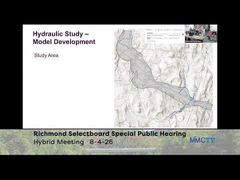
Several residents asked consultants to overlay the town's corrected DFIRM (CAS Engineering) maps when presenting model output, arguing the study's blue inundation shading places some homes back in the floodplain and could trigger insurance requirements.
Multiple Richmond residents told the Select Board at the Aug. 4 special meeting they were concerned the study's inundation maps put properties back into the floodplain that they and prior federal reviews had previously proved not to flood.
One resident said their property "is never flooded in its all of its eternity... and you're blue," and described lengthy past work to correct federal maps, including hiring CAS Engineering in 2013. The resident warned that inaccurate maps could trigger mortgage-related flood-insurance requirements. "The last time this happened to me, my mortgage company sent me a letter saying I had to get flood insurance," they added.
Consultants acknowledged the difference between this non-regulatory alternatives analysis and regulatory DFIRM maps and agreed to overlay the town's regulatory flood maps and explain the study's non-regulatory purpose in the final report. The presenters said the study's modeled extents are a planning tool and that the project team will more clearly show how modeled inundation compares with measured high-water marks and the town's DFIRM corrections.
The exchange underscored community sensitivity to map differences and the importance residents place on formal regulatory boundaries when insurance and mortgages are at stake.