Get Full Government Meeting Transcripts, Videos, & Alerts Forever!
Get email alerts on the Planning topic
No spam. Unsubscribe anytime.
Planning staff outlines development checklist and new GIS tools to speed permitting
Summary
City planning staff described an effort to convert code into a checklist for applicants, evaluate a new GIS platform that staff can update, and leverage a GEM grant for engineering to support future grant applications.
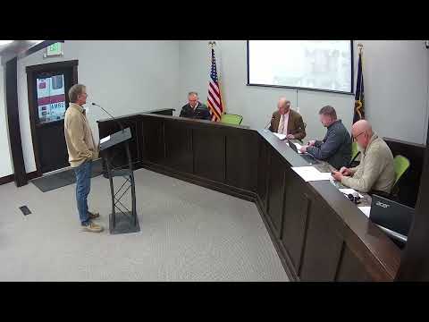
City planner Sean Alverson told the council he is converting the city's development code into a checklist format to make requirements more transparent for applicants and reviewers. He said a new, more user-friendly GIS platform (iWork) would allow public-works and planning staff to update maps and asset records directly, improving accuracy for new subdivisions.
Alverson also said the city will use an awarded GEM grant for engineering work that will support a stronger downtown grant application next cycle; he reported Keller Engineering has been responsive on recent submissions and flagged one applicant engineer license that had expired, which Keller caught during review. The planner said improving internal processes and map accuracy will reduce delays for developers and clarify infrastructure needs.