Get Full Government Meeting Transcripts, Videos, & Alerts Forever!
Get email alerts on the Data Governance topic
No spam. Unsubscribe anytime.
GIO says statewide geospatial datasets will reduce duplication, save 'millions and millions'
Summary
Susan argued that coordinating geospatial datasets statewide would eliminate duplicated efforts across local and state agencies, improve services like emergency response and economic development, and generate large recurring savings if widely adopted.
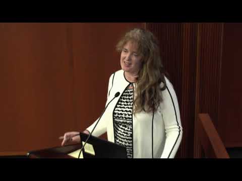
Susan, the acting state geospatial information officer, told the committee that geospatial coordination can prevent repeated dataset creation at dozens of local offices and agencies.
"So if we can eradicate that, build 1 dataset, have all of them using it, then we will save the state millions and millions annually," she said, describing how parcel, boundary and elevation data created once and maintained could reduce recurring costs. She gave examples including consistent city-boundary data used across agencies and next-generation 911 and census support that rely on standardized address and building-footprint layers.
Lawmakers asked how the office would interact with local GIS staff; Susan emphasized the role is not to replace local capacity but to establish standards and roll local data up at scale so local governments maintain control while state-level use is simplified.