Get Full Government Meeting Transcripts, Videos, & Alerts Forever!
Get email alerts on the Environment Stormwater topic
No spam. Unsubscribe anytime.
Board delays acceptance of stormwater plan after staff and neighbor raise technical and environmental concerns
Summary
Staff and a neighbor urged the board to reject the current stormwater (SWPPP) submission for a property linked to Gerard, citing an outdated aerial, missing elevations/topography, unscaled diagrams, unclear spillway and sediment-basin placement, and possible fill that may trigger state permits; the board declined to accept the plan and asked for more detailed, scaled engineering documentation.
The Planning Board declined to accept a submitted stormwater pollution prevention plan (referred to in the meeting as the "sweat" plan) after staff and a nearby resident flagged multiple technical deficiencies and potential environmental risks.
Staff told the board the latest submission lacks key elements required for enforcement and evaluation: it uses an older Google Earth image that omits recent earthwork and fill, it is not drawn to scale, and it does not include elevations or the engineering calculations (hydrologic and sizing calculations) necessary to verify that retention volumes and spillway sizing meet standards. Staff advised the board the applicant has 60 days from June 17 under the board’s condition to produce the required materials but said the current document does not allow the board to confirm whether concentrated flows will leave the site and impact neighboring properties. "It it does definitely need more detail to explain and and give us a good idea," staff said.
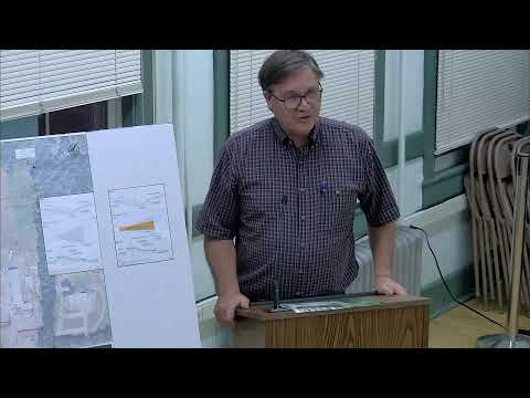
Neighbor Merrill provided an extended public comment, pointing to apparent changes on the site and expressing skepticism about the engineering report and the firm that prepared it. Merrill said the plan’s base image (06/25/2025 Google Earth) omits recent fill and alterations and described what he called redactions and missing narrative in the engineer’s drafts. He also urged the board to request an on-site inspection by the engineer or to commission a second independent engineering review paid for by the applicant. "I don't trust this engineering report at all," Merrill said in the hearing, urging the board to require full, scaled documentation and an independent review to reduce risk to neighbors and roadways.
Board members and staff agreed the plan as submitted is insufficient to permit further grading or construction; they emphasized that additional site disturbance should pause until a fully documented and scaled plan is presented and that the applicant must identify the exact retention area and spillway location. One board member suggested allowing the engineer to clarify limited items but another pushed for a thorough resubmission. The board reserved the right to request a third-party review if necessary and asked staff to communicate required corrections to the applicant before the September meetings.
The applicant was told to return with a revised, stamped engineer's plan that includes topography, calculations for retention and spillway sizing, and a narrative explaining site changes. The board did not accept the plan at this meeting.