Get Full Government Meeting Transcripts, Videos, & Alerts Forever!
Get email alerts on the Land Use Subdivision topic
No spam. Unsubscribe anytime.
Council approves tentative parcel map for 15541 Palos Verdes Drive
Summary
The council voted to approve a tentative parcel map that subdivides 15541 Palos Verdes Drive into two lots; staff said the proposed lots meet zoning minimums and the site and architectural commission recommended approval.
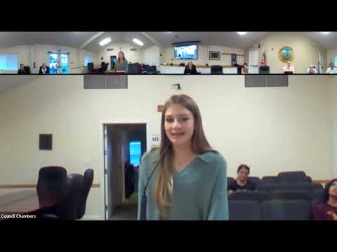
The Monte Sereno City Council voted Aug. 19 to approve a tentative parcel map to subdivide 15541 Palos Verdes Drive into two lots. Staff said the existing lot is about double the size of other lots on the block and that the proposed parcels would meet minimum lot-area and frontage standards required by the zoning code.
"If the tentative parcel map application is approved, a separate site-development permit application would need to be submitted for any new houses on the two new lots," staff said in a presentation to council. Staff added that the site and architectural commission reviewed the application at its Aug. 6 meeting and recommended approval by unanimous vote. The applicant said neighbors had generally reacted positively and that the plan was intended to match lot sizes and fit the neighborhood.
Council members asked staff about application and recordation fees. Staff said fees associated with recording and engineering review would be paid by the applicant and that reassessment by the county assessor would typically depend on subsequent improvements. With no public opposition reported, a council member moved to adopt the resolution approving the tentative parcel map and the motion carried.
The approval is for the tentative subdivision only; any construction or new dwelling units will require additional permits and technical maps to be submitted to the city engineer and recorded with the county.