Get Full Government Meeting Transcripts, Videos, & Alerts Forever!
Get email alerts on the Floodplain Management topic
No spam. Unsubscribe anytime.
City posts floodplain report, advances green-infrastructure measures; staff to continue outreach
Summary
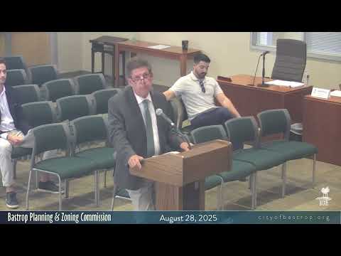
Staff announced a new flood-plain study and online tools (FEMA BFE viewer, appraisal‑district maps) and described green-infrastructure measures that offer pervious-pavement credits and require biannual inspections; the ordinance is set for a second council hearing on Sept. 9.
City staff reported that the city’s flood-plain study and related materials are now available on the City of Bastrop website and that the FEMA BFE viewer and appraisal-district maps with estimated base flood elevations (BFEs) have been added.
Staff said the outreach program includes training for local leaders, meetings with banks to flag floodplain concerns for loan applicants, and an updated floodplain-management web page. On green infrastructure, staff told the commission the city advanced a policy for pervious-pavement credits and established a biannual inspection requirement for maintained green-infrastructure features; that ordinance went to council and will have a second hearing on Sept. 9.
Commissioners praised the outreach and said the information helped clarify local flood risk, particularly in areas south of Hwy 71. Staff said they will re-send prior training materials to the commission and will continue stakeholder engagement.