Get Full Government Meeting Transcripts, Videos, & Alerts Forever!
Get email alerts on the Historic Overlay topic
No spam. Unsubscribe anytime.
Council members press to extend downtown historic overlay north of the tracks
Summary
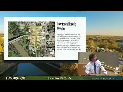
Councilmember Meyer and others pushed to expand the District 1832 downtown/historic overlay north to Mesquite Street rather than stopping at Cedar Street or the railroad tracks; staff said federal historic boundaries are set by national registry but local zoning overlays can be adjusted with notice and public hearings.
Councilmember Meyer urged expanding the proposed District 1832 overlay to include more of Bastrop's historically significant north end, saying stopping the boundary at the railroad tracks would create an artificial barrier and leave historic homes unprotected.
"I super have a problem ending on Cedar. I super have a problem in railroad tracks and the downtown area has always been considered," said Council member Meyer, pressing staff to extend the downtown boundary farther north. Staff and Main Street representatives said the federally recognized historic district is controlled at the national level and requires an evaluation to change, but that local overlay boundaries and zoning tools can be adjusted through a public process and majority council vote.
Staff advised that an overlay that changes permitted uses or lot sizes requires notification and public hearings; however, the narrower commercial historic core (certificate of appropriateness) can be limited to the commercial core so residents would not automatically be subject to COA requirements unless they had registered structures. The council directed staff to take the recommendation under advisement and to return revised maps reflecting discussion about the northern boundary.