Get email alerts on the Unified Development Ordinance topic
No spam. Unsubscribe anytime.
Planning director outlines UDO draft map changes, new rural zoning options
Summary
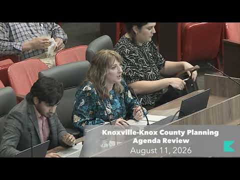
Director Brooks told the planning commission the UDO draft 2 zoning map is intended to replace one broad agricultural zone with three rural/agricultural zones and emphasized the map is a working draft; staff reiterated that changes will not affect greenbelt status or property taxes and cited acreage statistics for currently zoned agricultural parcels.
Director Brooks briefed the commission on a wide-ranging update to the Unified Development Ordinance and to the draft 2 zoning map, describing changes to how the county proposes to classify rural and agricultural land.
Brooks said the update replaces a single agricultural zone with three distinct options: rural residential, rural preservation and agricultural rural — with minimum lot-size standards of roughly 1 acre (or 0.5 acre in some infrastructure-served areas), 2.5 acres and 5 acres, respectively. He said the goal is to "provide options to differentiate between a range of rural and agricultural place types and uses moving forward." He added that the changes would not affect greenbelt designations or property taxes because those are determined by use, not zoning.
Brooks cited figures from the draft map to illustrate the scale of small parcels currently zoned agricultural: "27,000 or 78% are 5 acres or less and nearly 10,000 are less than an acre." He urged property owners to use the UDO feedback page to request a different proposed zoning district if they believe another rural zone better reflects their property's use and preservation preference.
On questions about property rights and farming, Brooks told the commission that the new rural zones "allow farming and agriculture," and he referenced the Tennessee Right to Farm Act, saying the county "cannot restrict or prohibit legitimate farming and agricultural uses." He reiterated the map is a draft and staff continues to accept and incorporate public feedback.
The next step, Brooks said, is to continue public outreach and refine the map and ordinance text prior to formal adoption steps.
AI generated
The text on this page is AI generated. Summaries, highlights, analysis, and video transcripts are all produced from the original source material.
AI can make mistakes, so if you spot one, and we will fix it for everyone.
Note: the source content is unaltered by us. Any content source we link to, be it a video, an audio recording, or a document, is presented exactly as its publisher released it. That publisher is usually a government body, sometimes an individual official or another organisation.