Get Full Government Meeting Transcripts, Videos, & Alerts Forever!
Get email alerts on the Walkability topic
No spam. Unsubscribe anytime.
Resident urges pedestrian-shed planning and mapping of ecologically sensitive areas
Summary
Local resident Pablo Serna asked the commission to include pedestrian‑shed mapping and explicitly mark geologically and ecologically sensitive areas (Houston toad habitat, loblolly pines, Colorado River) in the development code update to avoid one‑use suburban sprawl.
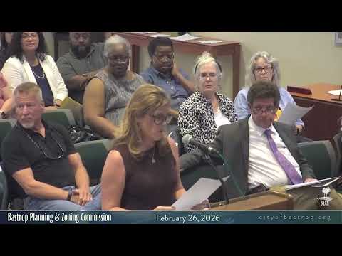
During citizen comment, Pablo Serna (1104 Hill Street) urged Planning & Zoning to incorporate 'pedestrian shed' mapping into Bastrop's development pattern so walkable mixed‑use nodes are preserved and to mark geographically sensitive areas on zoning maps to prevent the kind of unclear transitional development seen near Buc‑Ee's Square.
"The pedestrian shed basically identifies walkable areas so that you don't have a concentration of one use type," Serna told the commission; he also listed three sensitive areas he wants labeled—Houston toad habitat, stands of loblolly pines and the Colorado River—and left commissioners a handout with maps and diagrams to inform the code update.