Get Full Government Meeting Transcripts, Videos, & Alerts Forever!
Get email alerts on the Subdivision topic
No spam. Unsubscribe anytime.
Owner seeks subdivision at 221 Woodbury Ave.; reviewers request stormwater and plan fixes
Summary
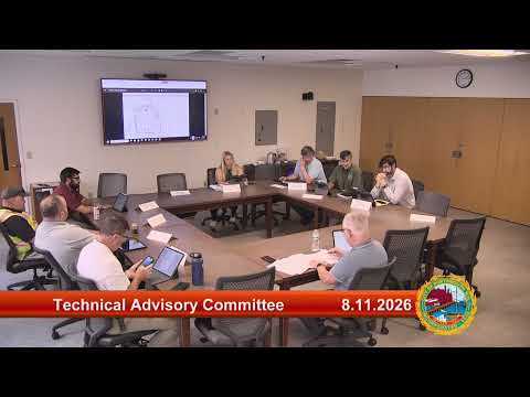
Martin Ryan proposed subdividing his 17,351 sq. ft. parcel at 221 Woodbury Avenue to convert an existing two-family into a single-family and build a new house. At the Aug. 11 Technical Review Advisory Committee work session, reviewers asked for clarified sewer/storm connections, a stamped plan, a zoning table and other corrections before sending the application to the planning board.
Martin Ryan, the owner and occupant of 221 Woodbury Avenue, presented a subdivision proposal at the Technical Review Advisory Committee work session on Aug. 11. "My name is Martin Ryan. I am the owner and occupant at 221 Woodbury Avenue, Portsmouth, New Hampshire," he told the panel as he described plans to divide his 17,351-square-foot lot and convert the existing two-family house back to a single-family while building a new single-family home on the subdivided parcel.
Ryan said the proposal creates an L-shaped lot with a single curb cut on Thornton Street to serve driveways and garages. The plan shows two-car garages for each dwelling, proposed screening and landscaping enhancements, and onsite stormwater measures including rain gardens and an underdrain in a gravel portion of the driveway intended to keep runoff on-site. He told reviewers the project had previously received a frontage variance from the Board of Adjustment and that he had revised utility work to connect water and sewer through the driveway extension to Thornton Street hookups.
Reviewers raised several items that must be corrected or clarified on the plans before the application advances. A committee member flagged a catch basin shown in the new driveway that appears to tie to sewer lines; staff and reviewers agreed the drawing must be cleaned up to show whether the catch basin or stormwater lines connect to the sewer or to a storm main. A staff member also asked the applicant to provide a zoning table and to reconcile inconsistent building square footage reported on different plan sheets (one plan lists about 1,445 sq. ft., another 1,490 sq. ft.). The applicant was told the version that goes to the planning board will need to be stamped by an engineer or licensed land surveyor.
Other practical requirements and recommendations included: obtaining a separate demolition permit for two small existing structures (reported on the record as roughly 240 sq. ft. and 88 sq. ft.); reaching out to the assessing department for new map/lot numbers for the proposed parcels; and showing snow‑storage/stockpile areas. A committee member suggested (not required) a small sign on Thornton Street indicating the driveways serve both addresses to help deliveries and emergency responders. A reviewer also reminded the applicant that contractors will need to repair sidewalks and the street to city standards if work affects them.
Staff noted procedural items for the application file: the applicant should request a waiver of the subdivision agreement and surety (installation bond) as part of the application if he seeks to avoid a bond, citing the waiver provisions in the subdivision regulations. "So the waiver requirement is section 10 in the subdivision regulations," a staff member said during the session. Staff offered to provide the applicant the exact regulation language and directed Martin to correct plan line types, show sewer and storm connections clearly, provide the zoning table, and submit a stamped plan.
The committee did not vote at the work session. Reviewers indicated that once the listed clarifications and corrections are provided — including clarified sewer/storm connections, a stamped plan, a zoning table, demolition permit path, and contact with assessing for map/lot numbers — the application can move forward to the planning board for formal consideration.