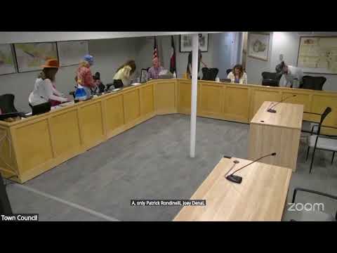
Telluride council backs exploring FEMA floodplain remap after July mudslides
Summary
Staff briefed council on a potential FEMA floodplain remapping that would update maps last revised in 1992; council members and residents urged starting the process as part of 2027 budget planning to improve public safety and grant eligibility.
Planning staff told the council that Telluride’s FEMA flood insurance rate map (FIRM) has not been remapped since 1992 and that an updated map could take roughly two years and cost an estimated $225,000–$275,000. The presentation highlighted that remapping could correct inaccurate designations and support better infrastructure and emergency planning, but would also create uneven impacts for property owners who might face new flood insurance or building requirements.
Kristen, the presenter, said remapping would "ensure that the basis for regulatory determinations is grounded in the most up to date and accurate data," and councilmembers repeatedly emphasized safety. Multiple residents urged prompt action: Courtney said, "It's music to my ears. It's time," and pushed council to budget for mapping immediately. Staff will include a placeholder in the 2027 budget and proceed with RFP preparation if council affirms priority.
AI generated
The text on this page is AI generated. Summaries, highlights, analysis, and video transcripts are all produced from the original source material.
AI can make mistakes, so if you spot one, and we will fix it for everyone.
Note: the source content is unaltered by us. Any content source we link to, be it a video, an audio recording, or a document, is presented exactly as its publisher released it. That publisher is usually a government body, sometimes an individual official or another organisation.