Get email alerts on the Privacy topic
No spam. Unsubscribe anytime.
Committee probes privacy and federal-standards implications of statewide mapping program
Summary
Members raised privacy concerns about high-resolution imagery and UAVs and asked which federal standards and safeguards would apply; the witness said the office would adhere to federal standards (FGDC, NGIA) and to Georgia Technology Authority cybersecurity rules.
Lawmakers asked whether federal notification requirements and privacy safeguards would limit how imagery and other spatial data are collected and used. Representative Cook described concerns about technologies that can identify movable objects and private property, and asked whether the federal notification and standards named in the bill address privacy.
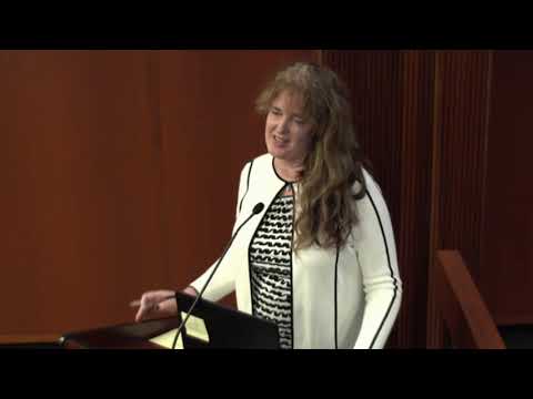
Susan responded that the geospatial community has long-established standards and bodies such as the Federal Geographic Data Committee and the National Geospatial-Intelligence Agency, and that the office would "adhere to any of the federal standards." She also noted a recent USGS lidar grant and said cybersecurity and data protection would be governed by Georgia Technology Authority policies.
Members raised hypothetical examples — including a satellite or aerial image showing a mobile chicken coop — and Susan answered with an anecdote about local surveillance she had experienced; she emphasized that accuracy and standards can help avoid misclassification.
AI generated
The text on this page is AI generated. Summaries, highlights, analysis, and video transcripts are all produced from the original source material.
AI can make mistakes, so if you spot one, and we will fix it for everyone.
Note: the source content is unaltered by us. Any content source we link to, be it a video, an audio recording, or a document, is presented exactly as its publisher released it. That publisher is usually a government body, sometimes an individual official or another organisation.