Get email alerts on the Land Use topic
No spam. Unsubscribe anytime.
Draft land-use map separates low-, medium- and high-density zones and two mixed-use types
Summary
The consultant outlined a new future land-use framework that distinguishes low-, medium- and high-density residential areas and defines downtown and suburban mixed-use designations to guide rezoning decisions.
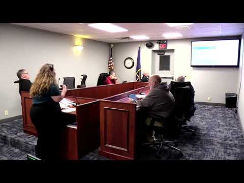
The draft future land-use plan presented to the commission divides residential areas into low-, medium- and high-density categories and distinguishes downtown mixed-use from suburban mixed-use.
Merl said low-density areas are envisioned for single-family lots in more rural areas, medium density accommodates single-family with townhomes, and high density allows for apartment buildings while still permitting single-family uses in some locations. She also described downtown mixed-use (ground-floor retail with housing or offices above) and suburban mixed-use (office next to a restaurant, for example).
Merl emphasized that the future land-use map is intended to guide rezoning consistency determinations and is one factor the state recommends local officials consider when reviewing development proposals.
AI generated
The text on this page is AI generated. Summaries, highlights, analysis, and video transcripts are all produced from the original source material.
AI can make mistakes, so if you spot one, and we will fix it for everyone.
Note: the source content is unaltered by us. Any content source we link to, be it a video, an audio recording, or a document, is presented exactly as its publisher released it. That publisher is usually a government body, sometimes an individual official or another organisation.