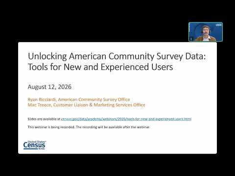
OnTheMap for Emergency Management maps populations affected by disasters
Summary
OnTheMap for Emergency Management combines ACS demographics with live hazard feeds (NWS, FEMA, wildfires) to estimate affected residents and workforce; presenters demonstrated a Hurricane Helene scenario and reported the tool showed 852,863 people in the storm's path without a vehicle available.
The Census Bureau's OnTheMap for Emergency Management pulls together ACS demographics with live hazard and incident feeds to help planners assess populations and worker concentrations in disaster areas. During a live demo, presenters used Hurricane Helene as a federally recognized event and showed map and chart views that can be exported and shared.
In the demonstration the presenters noted a vehicle‑availability statistic: "It looks like 852,863 people in Hurricane Helene's path did not have a vehicle available to them," a metric useful for evacuation planning. The presenters also cautioned users that the workforce data are drawn from unemployment insurance wage records and the Quarterly Census of Employment and Wages and therefore exclude uniformed military, self‑employed and informally employed workers.
AI generated
The text on this page is AI generated. Summaries, highlights, analysis, and video transcripts are all produced from the original source material.
AI can make mistakes, so if you spot one, and we will fix it for everyone.
Note: the source content is unaltered by us. Any content source we link to, be it a video, an audio recording, or a document, is presented exactly as its publisher released it. That publisher is usually a government body, sometimes an individual official or another organisation.