Get email alerts on the Privacy topic
No spam. Unsubscribe anytime.
Privacy, UAVs and federal standards: committee questions geospatial data use
Summary
Members questioned whether federal standards and privacy safeguards are sufficient for high-resolution imagery and lidar; Susan said federal bodies set quality and standard requirements and that projects would comply with GTA cybersecurity and federal best practices.
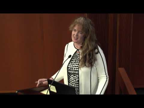
Representative Cook asked whether federal notification requirements address privacy concerns tied to high-resolution imagery and UAVs. Susan replied that national bodies such as the National Geospatial-Intelligence Agency and the Federal Geospatial Data Committee set standards and that federal grants and vendors adhere to minimum quality levels (she cited lidar quality level two).
Cook raised a personal example—his mobile chicken coop—to illustrate citizen privacy concerns with high-resolution imagery; Susan said standards and vendor quality, combined with state cybersecurity policies (through the Georgia Technology Authority), guide data handling and contracting. She emphasized adherence to federal standards and noted a USGS grant to collect lidar that would follow established guidelines.
AI generated
The text on this page is AI generated. Summaries, highlights, analysis, and video transcripts are all produced from the original source material.
AI can make mistakes, so if you spot one, and we will fix it for everyone.
Note: the source content is unaltered by us. Any content source we link to, be it a video, an audio recording, or a document, is presented exactly as its publisher released it. That publisher is usually a government body, sometimes an individual official or another organisation.