Back to Muscogee County Feed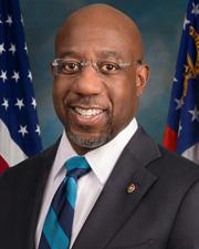


Muscogee County
countyMuscogee County, Georgia
Overview
- Classification
- County
- FIPS Code
- 13215
- Country
- United States
- County
- Muscogee County
Geography
- Region
- West Central Georgia
- Total Area
- 221 sq mi
- Land Area
- 216 sq mi
- Water Area
- 4.6 sq mi
- Latitude
- 32.51
- Longitude
- -84.87
- Climate
- Muscogee County has a mild climate with hot and humid summers and short, mild winters. Average temperatures rise to highs in the mid-80s during the summer months, while winter temperatures typically range between 40-60°F. The area receives around 49 inches of rain each year and averages 0 inches of snow per year.
- Notable Features
- Chattahoochee River · Fall Line · Fort Moore (formerly Fort Benning)
- Neighboring Areas
- Harris County (north) · Talbot County (northeast) · Chattahoochee County (south) · Russell County, Alabama (southwest) · Lee County, Alabama (west)
Demographics
- Population (2020)
- 206,922
- Est. Population (2026)
- 201,572
- Median Age
- 35.1
- Median Income
- $56,622
- Poverty Rate
- 18.8%
- Owner-Occupied
- 50.2%
- Racial & Ethnic Composition
- In 2023, Muscogee County had a population of 204k people, with the largest ethnic groups being 45.9% Black or African American (Non-Hispanic), 37.4% White (Non-Hispanic), and 4.13% Two Races Excluding Other, & Three or More Races (Non-Hispanic).
Governance
- Government Type
- Consolidated City-County
- Governing Body
- Columbus City Council
- School District
- Muscogee County School District
- Municipal Services
- Public Safety · Transportation · Community Development · Workforce Services
U.S. Congress
Warnock, Raphael G.D
U.S. SenatorOssoff, JonD
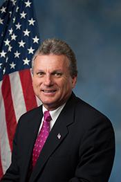
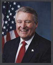
U.S. SenatorCarter, Earl L. "Buddy"R
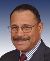
U.S. Representative - District 1Bishop, Sanford D.D
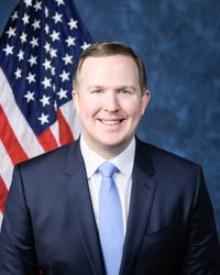
U.S. Representative - District 2Jack, BrianR
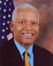
U.S. Representative - District 3Johnson, Henry C. "Hank"D
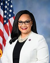
U.S. Representative - District 4Williams, NikemaD
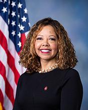
U.S. Representative - District 5McBath, LucyD
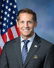
U.S. Representative - District 6McCormick, RichardR
U.S. Representative - District 7Scott, AustinR
U.S. Representative - District 8Clyde, Andrew S.R
U.S. Representative - District 9Collins, MikeR
U.S. Representative - District 10Loudermilk, BarryR
U.S. Representative - District 11Allen, Rick W.R
U.S. Representative - District 12Fuller, ClayR
U.S. Representative - District 14Economy
- Unemployment Rate
- 4.3%
- Economic Profile
- Diversified economy influenced by Fort Moore and Columbus's role as a regional center
- Employment Sectors
- Health Care & Social Assistance · Retail Trade · Finance & Insurance · Education
- Major Employers
- Fort Moore · Columbus Consolidated Government · TSYS (Global Payments)
Education
- Schools
- 53
- Students
- 30,757
- Student-Teacher Ratio
- 18:1
- School Districts
- Muscogee County School District
- Colleges & Universities
- Columbus State University · Columbus Technical College
Infrastructure
- Transportation
- Interstate 185 · U.S. Route 27 · U.S. Route 80 · Columbus Airport
- Utilities
- Municipal water · Municipal power · Fiber/broadband
- Major Facilities
- Government Center · City Hall · C.E. "Red" McDaniel City Services Center
Recreation
- Outdoor Access
- Yes
- Major Recreation Areas
- Columbus Riverwalk · Oxbow Meadows Environmental Learning Center · Lake Oliver
- Parks & Trails
- City Parks · Trail Systems
History
- Founded
- 1825
- Incorporated
- 1971
- Named After
- The Muscogee (Creek) Native American tribe
- Historical Significance
- Muscogee County's history is intertwined with the Muscogee (Creek) Nation, its development as a trading hub, and its role in Georgia's economic and governmental evolution.
- Key Events
- Creek Indian Wars · Development as a center for trade and industry due to its location on the Chattahoochee River · Consolidation of Columbus and Muscogee County governments in 1971