Lancaster County staff begin updates to land‑use maps; state resiliency rules to require planning changes
Summary
Planning staff briefed the commission on updates to the county’s land‑use maps, EPA technical assistance around wastewater planning, and forthcoming state changes to Chesapeake Bay‑related resiliency requirements; staff will draft the required ordinance edits and later hold public hearings.
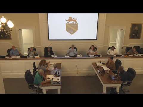
Lancaster County planning staff told the county Planning Commission in August 2025 that the county will update its future land‑use and planned growth maps, work with state and regional partners on wastewater planning and prepare limited ordinance edits to meet new Chesapeake Bay resiliency requirements.
Miss Hall said Lancaster County is participating in the EPA program Closing America’s Wastewater Access Gap Initiative, which provides no‑cost technical assistance to rural communities with failing septic systems and helps localities apply for grant funding. "Through the technical assistance initiative, the EPA also helps communities apply for grant funding," Miss Hall said, and staff have used that assistance to map existing community septic infrastructure and planned growth areas.
Staff noted consultant Glenrow has prepared an updated planned‑growth map for the county. The packet included the existing comprehensive plan mapping, staff said, and commissioners discussed revisiting secondary growth areas shown on the current future land‑use map. Miss Hall told commissioners the Department of Forestry had asked to be involved in the next comprehensive‑plan update to support forestry mapping, and staff have obtained service maps from ACWA to show utility service areas.
On state regulatory changes, Miss Hall summarized amendments to the Chesapeake Bay Preservation Act and associated state regulations that add a resiliency focus. She said the state is seeking public comment through Sept. 10 and that the department has extended time for local implementation until the state finalizes its model ordinance. Staff said required changes in the model ordinance focus on sea‑level rise, storm surge and flooding and that the state’s Adapt Virginia mapping can be used to show projected inundation levels and a 30‑year planning horizon.
Miss Hall said the model ordinance’s underlined changes are mandatory and staff will prepare a version that satisfies only the required edits, while noting any additional helpful changes for the commission to consider. She added that the model ordinance will also ask for more detailed landscape plans, showing existing plantings and mitigation plantings, which will increase plan submission detail for engineers and applicants.
Commissioners were told both the comprehensive‑plan map updates and any ordinance changes to implement the state’s resiliency edits will require public hearings. Miss Hall also clarified that an earlier item about a Styrofoam ban was not a code change for the commission to consider.
Next steps: staff will prepare map updates and a draft ordinance that meets the state’s required changes and return to the commission for consideration; public hearings will be scheduled when the commission advances amendments to the comprehensive plan or code.
AI generated
The text on this page is AI generated. Summaries, highlights, analysis, and video transcripts are all produced from the original source material.
AI can make mistakes, so if you spot one, and we will fix it for everyone.
Note: the source content is unaltered by us. Any content source we link to, be it a video, an audio recording, or a document, is presented exactly as its publisher released it. That publisher is usually a government body, sometimes an individual official or another organisation.