Get email alerts on the Zoning topic
No spam. Unsubscribe anytime.
Commissioners rule mapping discrepancy: parcel interpreted entirely recreation zone, mapping errors to be corrected
Summary
The board interpreted a split‑zoned parcel as entirely recreation zone, attributing the split to a mapping discrepancy and directing county corrections to the digital zoning map.
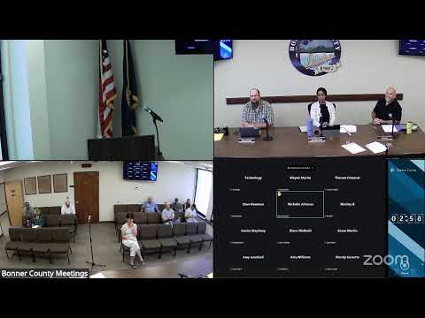
Bonner County commissioners formally interpreted a split‑zone parcel as fully zoned recreation and directed county staff to correct mapping discrepancies that created apparent split zones.
Planning staff Daniel Bridal presented a parcel where the digital GIS zoning layer showed a sliver of Rural‑5 zoning in an otherwise recreation‑zoned property and asked the board to exercise its authority under county code to interpret the zoning boundary. Bridal told the board the parcel “appears to be split zone between rural 5 and recreation.”
After viewing the GIS exhibit and packet maps, one commissioner described the issue as a mapping alignment error: “It’s pretty apparent to me that there’s a…scribner’s error…our mapping software or something just didn’t line up right,” and concluded the intent was alignment with parcel lines rather than the split shown on the digital map.
The board made a motion invoking Bonner County Revised Code 12‑3‑15(h) to interpret the zoning boundary on the referenced parcel RP 5 At 59 N 04 W 102400 A as entirely zoned recreation and noted the county will correct mapping discrepancies in the future. The motion passed on roll call.
A resident who owns the property told commissioners they purchased the parcel five years ago when it was fully recreation zoned and that the mapping change likely resulted from the new digital map implementation; the commissioners confirmed staff will “make the corrections.”
AI generated
The text on this page is AI generated. Summaries, highlights, analysis, and video transcripts are all produced from the original source material.
AI can make mistakes, so if you spot one, and we will fix it for everyone.
Note: the source content is unaltered by us. Any content source we link to, be it a video, an audio recording, or a document, is presented exactly as its publisher released it. That publisher is usually a government body, sometimes an individual official or another organisation.