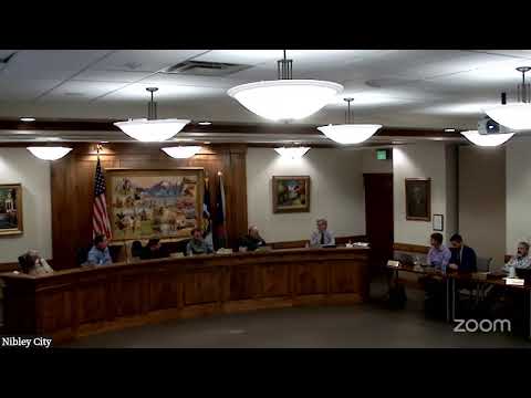
City hears primer on wetland rules, permitting and project risks
Summary
Consultants and the city engineer gave a detailed presentation on how federal and state wetland rules affect development, why delineations matter and what property owners should expect for permitting and mitigation.
Coleman Klein, an environmental consultant with Civil Solutions Group, told the Nibley City Council on Jan. 9 that wetlands are defined by three technical components — vegetation, soils and hydrology — and that those components determine whether an area is regulated under the federal Clean Water Act.
“Wetlands generally include swamps, moaches, dogs, and similar areas,” Coleman said as he worked through the Army Corps of Engineers’ three-part test of vegetation, soil and hydrology during the presentation. He repeatedly urged property owners to obtain a wetland delineation during the growing season rather than relying on online maps.
The presentation explained why the National Wetland Inventory (NWI) and similar map layers are only a high-level guide: Coleman showed examples where the NWI both over‑ and under‑identified wetland areas and said those public data sets are “not the gospel.” He explained that the Army Corps issues a jurisdictional determination (JD) after reviewing a consultant’s field delineation; that JD is the legal document that defines what is regulated on a parcel.
City Engineer Tom Dickinson described a recent local example in which dye testing traced groundwater and surface flow into a creek that abuts a resident’s yard. Dickinson said the dye demonstrated the water “enters into the creek, and then the water breaches over the creek bank,” and that vegetation, maintenance and ground‑water saturation are part of the cause. He told council members that resolving similar drainage problems often requires a combination of bank maintenance, vegetation removal and localized fill, and noted responsibilities can be shared among property owners, developers and public agencies.
Consultants and staff also reviewed the three common permitting tracks: nationwide permits, letters of permission and individual permits. Coleman said staying under the thresholds that trigger compensatory mitigation (generally 0.10 acre of wetlands or 0.03 acre of stream impact) makes projects simpler and less costly. If a project does require mitigation, he said, developers should expect additional land, construction costs and monitoring requirements.
Council members asked how the Army Corps is notified about suspected violations; Coleman said the corps receives tips by phone or email but most enforcement arises during permit reviews when reviewers notice potential unpermitted impacts.
Why it matters: Wetlands and connected stream channels can delay developments, create mitigation obligations, and — when mismanaged — expose a city or developer to costly enforcement. The presentation was intended to give Nibley officials and residents a clearer sense of the on‑site field work, timelines and likely costs when wetlands or spring‑fed features are present.
Ending: Klein and Dickinson encouraged property owners and developers to begin delineations early, photograph seasonal conditions (spring is most useful) and consult qualified delineators when a site shows wet signatures. Staff said city review and coordination with Cache County and the Army Corps will continue for local projects that may intersect wetlands or streams.
AI generated
The text on this page is AI generated. Summaries, highlights, analysis, and video transcripts are all produced from the original source material.
AI can make mistakes, so if you spot one, and we will fix it for everyone.
Note: the source content is unaltered by us. Any content source we link to, be it a video, an audio recording, or a document, is presented exactly as its publisher released it. That publisher is usually a government body, sometimes an individual official or another organisation.