Get Full Government Meeting Transcripts, Videos, & Alerts Forever!
Get email alerts on the Mining Reclamation topic
No spam. Unsubscribe anytime.
Commission approves Eagle—s Nest mine reclamation amendment with engineered walls and revegetation measures
Summary
The planning commission approved an amendment to the Eagle—s Nest Mine reclamation plan to add an approximately 1-acre overburden dump site and extend an emergency access road, subject to mitigation measures, annual inspections of engineered Hillfiker walls and a mitigation monitoring program under a mitigated negative declaration.
The Placer County Planning Commission on Oct. 23 approved an amendment to the Eagle—s Nest Mine reclamation plan to authorize an approximately 1-acre overburden/waste-material dump site, extend an existing roadway to provide an emergency exit to a secondary mine portal, and retain a 2005 reclamation strategy that includes removal of roads and revegetation with native species.
Senior Planner David Olroy Uraz described the site on Mosquito Ridge Road and said the proposal responds in part to burn damage from the 2022 Mosquito Fire. The existing reclamation plan, adopted following the 2005 plan of operations, called for planter wells and plantings of 25 ponderosa pine and 25 live oak trees per acre in reclamation zones; dump sites 1 through 4 were previously signed off by the state Division of Mine Reclamation. The 2022 fire destroyed much of the prior revegetation, staff said, and the amendment adds a new dump site (Dump Site 6) and two Hillfiker mechanically stabilized earth walls to stabilize steep slopes where necessary.
County engineering and surveying reviewed the wall design and mitigation measures and found them acceptable. Best management practices in the plan include directing drainage away from dump sites, benching or keying roadways into cut slopes, limits on transverse fill slope length and annual inspections of the engineered walls. A mitigated negative declaration and mitigation monitoring and reporting program were circulated; comments were limited to a regional water board informational letter and state mining staff provided technical direction that was incorporated into the plan.
Applicant geologist Ian Merkel explained that the proposed fill will restore a historic hydraulic-mining scar and that ongoing onsite reclamation work showed planter wells and rooting areas can support native plant regrowth. "We are actually restoring the canyon in that one specific spot back to the natural grade that was there before and planting it with native seeds," Merkel said, and noted planter wells and previous plantings survived the wildfire in some locations.
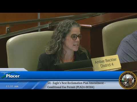
At the hearing the Forest Hill community forum—s prior input was described as supportive; no substantive opposition was recorded. The commission adopted the mitigated negative declaration (state clearinghouse no. 2025081053), approved the reclamation-plan amendment and adopted the mitigation monitoring program. The recorded roll-call votes for the adoption were: Yes — Alves, Jewell, Watts, Rontin, Beckler. The action includes conditions requiring implementation of the engineer-specified Hillfiker walls and annual inspections to verify stability and revegetation commitments.
The county said the amendment maintains the previously approved reclamation strategy and adds measures to ensure slope stability and water-quality protection during mining and reclamation work.