Get Full Government Meeting Transcripts, Videos, & Alerts Forever!
Get email alerts on the Subdivision topic
No spam. Unsubscribe anytime.
Planning commission approves preliminary review for Firefly subdivision after neighbor concerns about privacy, trees and drainage
Summary
The commission found the Firefly preliminary subdivision review substantially complete and approved it subject to five findings and eight conditions. Neighbors spoke at length about potential loss of privacy, two‑story homes, tree removal, drainage, and a 15‑foot remnant strip that must be consolidated.
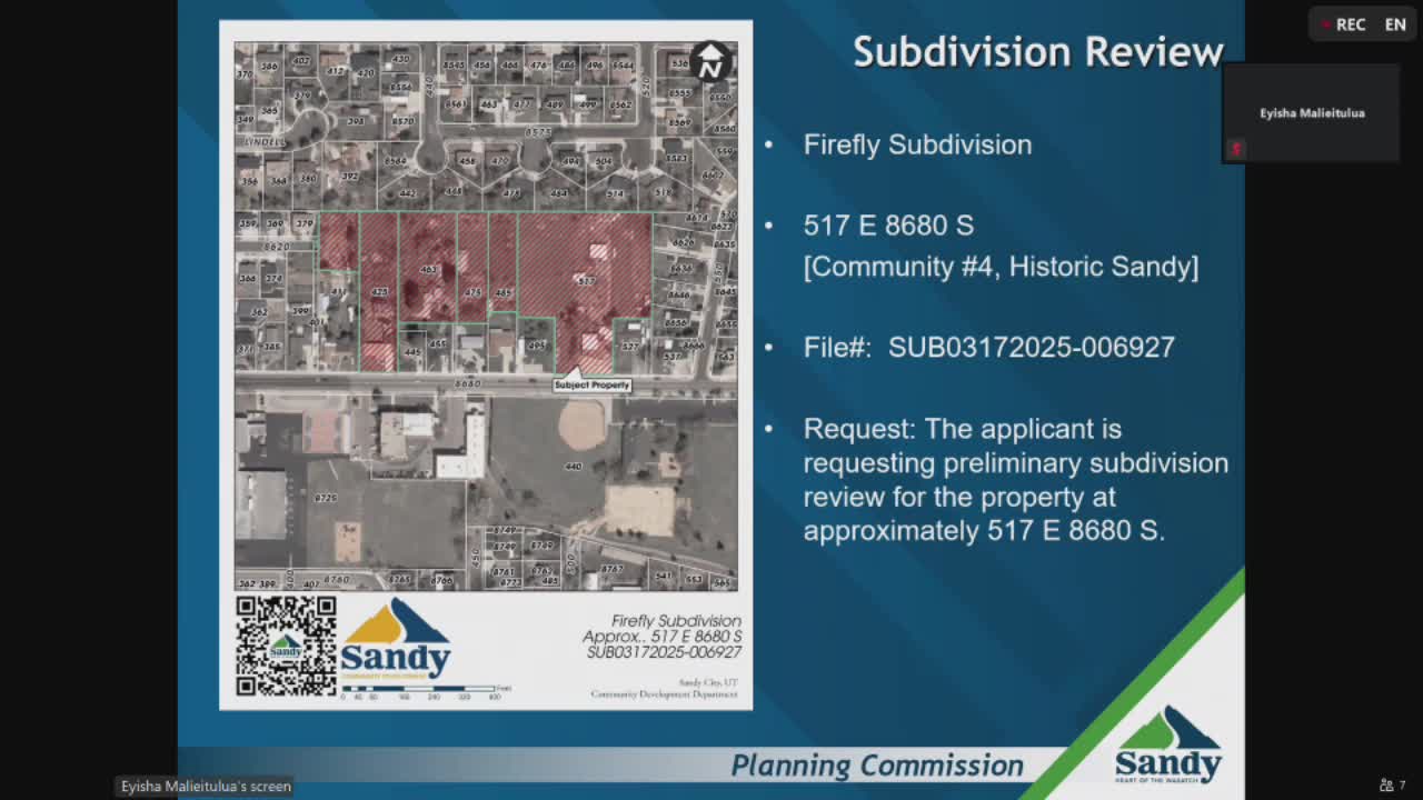
The Sandy City Planning Commission determined on Aug. 7 that the preliminary subdivision review for the Firefly subdivision (approximately 517 East / 8680 South) is substantially complete and approved it subject to conditions and findings outlined in the staff report.
Thomas Irvin, senior planner, said the proposal would combine roughly a 9‑acre assemblage into 35 lots (28 single‑family lots), add a public street connection between 8620 South and 8680 South, and invoke the Historic Sandy overlay standards to permit smaller lot sizes with design controls. Jacob Alstead of Garbett Homes, the applicant, said the project had been coordinated with homeowners and neighborhood stakeholders.
More than a dozen residents spoke during a lengthy public‑comment period. Concerns focused on several recurring themes: the potential for two‑story homes on the north lots to block sunlight and views, loss of privacy from elevated lots overlooking existing backyards, removal of trees that currently provide screening, unstable fill and grading in the gully at the north boundary, drainage and erosion risks, and safety/fire hazards from longstanding weed growth on some parcels.
Staff responded point‑by‑point: the Historic Sandy overlay allows 50‑foot frontages down to 5,000 sq. ft. with additional design standards; the maximum building height under the code is 35 feet and several lots would not physically accommodate two‑story plans due to width; the developer agreed to soil testing and to remove and legally dispose of any contaminated soils per EPA/cleanup requirements; and remnant parcels (including a 15‑foot strip) must be consolidated with adjacent lots as part of the subdivision process. City engineering staff and the applicant described a stormwater detention basin included in the plat and said the project will be required to retain stormwater on site.
After staff and the developer addressed those issues, a commissioner moved that the preliminary subdivision review is substantially complete subject to five findings and eight conditions (the record includes a friendly amendment correcting a street name typo). The motion was seconded and carried by recorded voice vote.