Get Full Government Meeting Transcripts, Videos, & Alerts Forever!
Get email alerts on the Land Use Master Plan topic
No spam. Unsubscribe anytime.
Central planning commission reviews nodal future land-use map amid dispute over apparent commercial corridors
Summary
A consultant presented a revised future land-use map for the City of Central that shifts to a nodal approach and reduces categories from eight to five; commissioners and residents debated whether the generalized map will behave as de facto zoning and requested population and economic data to guide decisions.
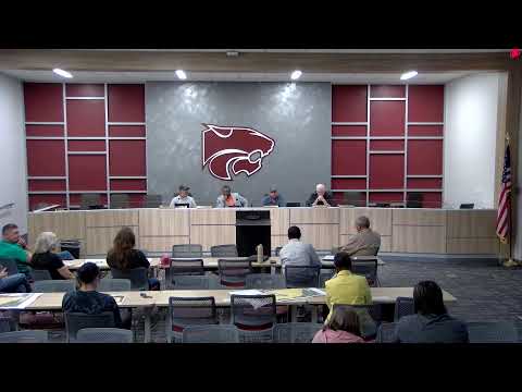
Central — City consultants on the planning commission’s master-plan update on Tuesday presented a revised future land-use map that moves away from parcel-level and corridor-based depictions toward a generalized, nodal approach, prompting debate about how the map could affect future rezoning and commercial development.
Steve Villavassa, consultant with Bassett and Associates, told attendees the map is ‘‘a generalized future land use map’’ and repeatedly emphasized that ‘‘this is non zoning.’’ Villavassa said the new draft consolidates eight prior categories into five—generalized commercial, residential and rural residential (two intensity layers), a mixed-use city center, and business/manufacturing/technology—and overlays one city-center node and several village-center nodes to indicate likely locations of mixed-use activity over time.
The change drew pushback from several planning commissioners and members of the public. ‘‘Right now, up and down Hooper Road, anybody under this land use map will have the right to come in and assert, look ... you put me in this land use, and so you really can't deny me this,’’ said a committee member identified in the transcript as Mister Fournette, warning that, in practice, applicants often use a master-plan designation to argue for rezonings or approvals.
Villavassa acknowledged those concerns and said the one-page map must be read alongside the master-plan narrative. He told the commission that population projections are included elsewhere in the plan but that an economic market study—such as the square-foot needs of different retail types—is a separate exercise. When asked about the 10-year population target, Villavassa cited the plan’s projections, saying the projection is ‘‘flat. For the next 10 years.’’
Questions also touched on infrastructure and environmental overlays. Speakers noted areas already zoned B-5 commercial and urged the map be sensitive to existing zoning and sewer infrastructure; others asked whether the 2010 map’s floodplain or conservation markings would be restored. A staff speaker said floodplain and conveyance mapping now relies on updated models and that prior map layers had been removed for that reason.
Villavassa and several participants said the narrative that accompanies the one-page land-use map will be crucial: the narrative should explain what a node means, how intensity should graduate from a node’s center outward, and how the master plan should be applied in council and rezoning decisions under Louisiana law. The consultant noted the master plan is a recommendation for elected officials and not a zoning ordinance; several members urged that the city keep notes or explanatory language that would guide decisions and limit unintended outcomes.
Next steps: the planning commission will review edits to the master-plan narrative and the map; the chair announced another meeting on Thursday and invited public markup of the draft map. The meeting adjourned on a motion by the chair.