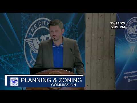
Commission backs thoroughfare master plan to guide 20-year street network
Summary
City staff presented a 20+-year thoroughfare master plan developed with Ardura Engineering to guide future corridors and roadway classifications; the commission voted to forward the plan to City Council with a recommendation that it be adopted via ordinance following three readings.
City planning staff asked the Planning and Zoning Commission to recommend approval of a Thoroughfare Master Plan intended to guide major corridor and collector-street locations for the next 20-plus years.
Staff said the plan—developed with Ardura Engineering—maps existing streets, identifies where future corridors will be needed (including roughly two miles beyond the city limits), classifies road types (local, collector, arterial), and provides typical sections (widths, right-of-way, sidewalks) to guide developers. The plan uses crash and traffic-volume data, border-crossing figures and projected growth to identify priority connections, including an identified priority to improve connectivity near the Lowe’s/Walmart/South Veterans area.
Staff emphasized the plan is a guiding document—not a construction blueprint—and that it will be updated as new developments and data emerge. The commission asked whether developers will be obliged to follow the map; staff replied that areas designated with critical corridors would be required to include the corridor when developing, but the corridor alignment can be adjusted for topography or engineering constraints so long as connectivity intent is preserved.
The commission voted to recommend the thoroughfare master plan to City Council for ordinance adoption; staff said the City Council will consider the plan across three readings to amend the zoning/plan documents as required.
AI generated
The text on this page is AI generated. Summaries, highlights, analysis, and video transcripts are all produced from the original source material.
AI can make mistakes, so if you spot one, and we will fix it for everyone.
Note: the source content is unaltered by us. Any content source we link to, be it a video, an audio recording, or a document, is presented exactly as its publisher released it. That publisher is usually a government body, sometimes an individual official or another organisation.