Get email alerts on the Public Engagement topic
No spam. Unsubscribe anytime.
Presenter demonstrates Calaveras County interactive map for Comprehensive Safety Action Plan comments
Summary
A presenter demonstrated how to place location-specific comments, upload photos, and upvote others using the Calaveras County Comprehensive Safety Action Plan interactive mapping tool; state highways are excluded from the tool and cannot be commented on.
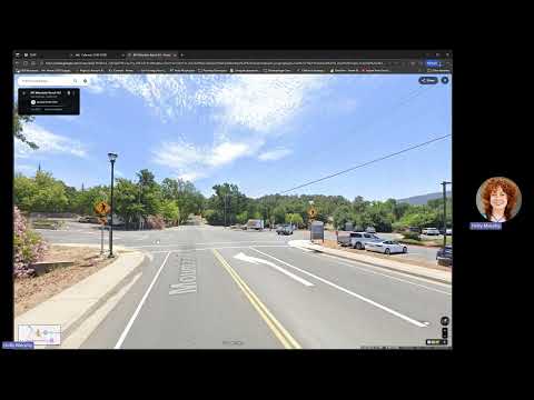
A presenter demonstrated how residents can use the Calaveras County Comprehensive Safety Action Plan’s online interactive mapping tool to submit location-specific comments and attach photos.
The demonstration showed users how to navigate to the project site, open the interactive map in a new tab, zoom to an address or location, place a marker and select a comment category, and submit feedback. The presenter noted that state highways are grayed out and cannot be commented on through this tool.
"The flashing beacons at the crosswalk make me feel safer when crossing the street," the presenter said as an example comment while placing a marker and selecting the "walking" category. The presenter also said users must enter an email address to submit a comment; that email is required for submission but is not visible to other users. Commenters may upload a file or photo to support their comment.
After submission, the map displays a confirmation message reading "thank you for your submission." The presenter demonstrated how users can also read other people's comments and indicate agreement or disagreement using thumbs-up and thumbs-down votes.
The presenter closed the demonstration by inviting viewers to submit comments through the map. No formal votes or decisions were taken during the session; the segment was a step-by-step tutorial on how to provide public input to the Comprehensive Safety Action Plan.
AI generated
The text on this page is AI generated. Summaries, highlights, analysis, and video transcripts are all produced from the original source material.
AI can make mistakes, so if you spot one, and we will fix it for everyone.
Note: the source content is unaltered by us. Any content source we link to, be it a video, an audio recording, or a document, is presented exactly as its publisher released it. That publisher is usually a government body, sometimes an individual official or another organisation.