Get Full Government Meeting Transcripts, Videos, & Alerts Forever!
Get email alerts on the Land Use Development topic
No spam. Unsubscribe anytime.
Denton planning panel backs 2,500‑acre Craver Ranch master plan amid fierce public concern over water and roads
Summary
After hours of staff briefings and more than 30 public comments, the Planning & Zoning Commission recommended approval of a comprehensive‑plan amendment, a mobility plan realignment and rezoning to a planned development for the 2,500‑acre Craver Ranch project, with split votes reflecting persistent concerns about groundwater, nearby roads and leapfrog growth.
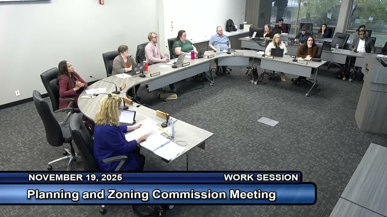
A split planning commission recommended approval Wednesday of three linked land‑use changes that would pave the way for the 2,500‑acre Craver Ranch master‑planned community.
City staff recommended the comprehensive plan amendment, a mobility plan alignment change and Planned Development zoning for the project after outlining infrastructure studies, environmental assessments and an operating agreement tied to a municipal management district. Senior planner Mia Hines told the commission the applications are intended to shift the site’s future land‑use designation from agriculture to a "master plan community" and to realign a proposed east‑west arterial to avoid a known floodplain crossing. "Staff is recommending approval of this application," Hines said during the presentation.
Why it matters: The project would bring a large new residential and commercial enclave north of existing Denton development and is proposed to include more than 7,000 single‑family units, townhomes and multifamily homes, roughly 1.3 million square feet of commercial space, two school sites and more than 360 acres of parkland. The applicant and its consultants framed the proposal as an opportunity to master‑plan infrastructure and contribute land and money for schools, public safety and transmission mains; the developer’s presentation cited an economic impact and fiscal analysis projecting long‑term tax and job benefits.
What commissioners and residents said: Commissioners pressed staff and the developer on technical matters including the alignment of the regional outer loop, the scope and assumptions of the traffic and fiscal studies, and water supply and reuse. Many residents who live in the city’s extraterritorial jurisdiction urged denial or delay. Patricia Adams, who said she lives on FM‑2153, told the commission the comprehensive plan should not be retrofitted without broad public vetting: "This was not an amendment that got vetted or that anyone gave any input on that it should be this type of density in this area," she said. Others raised concerns about FM‑428 capacity, wildlife corridors, and long‑term maintenance costs.
Developer reply: The applicant’s engineer said transportation modeling was performed using the city’s demand model and repeatedly revised at staff’s request and that internal roads would be built as phases progress. He described irrigation plans that include deep wells for initial landscape watering and a commitment to accept reclaimed water from the city when reuse systems are available.
The votes: The commission ultimately approved all three actions but by close margins — the comprehensive plan amendment passed 4–2, the mobility plan amendment 5–1, and the PD rezoning 4–2 — signaling continued division on long‑range fiscal and infrastructure risk.
What’s next: The commission’s recommendations will move to City Council for final decisions. Several commissioners asked staff and the applicant to return with additional details on water, road phasing/mitigation and wildlife protections before council action.